27a3fdc0053a455490dddb17d5d0a26f
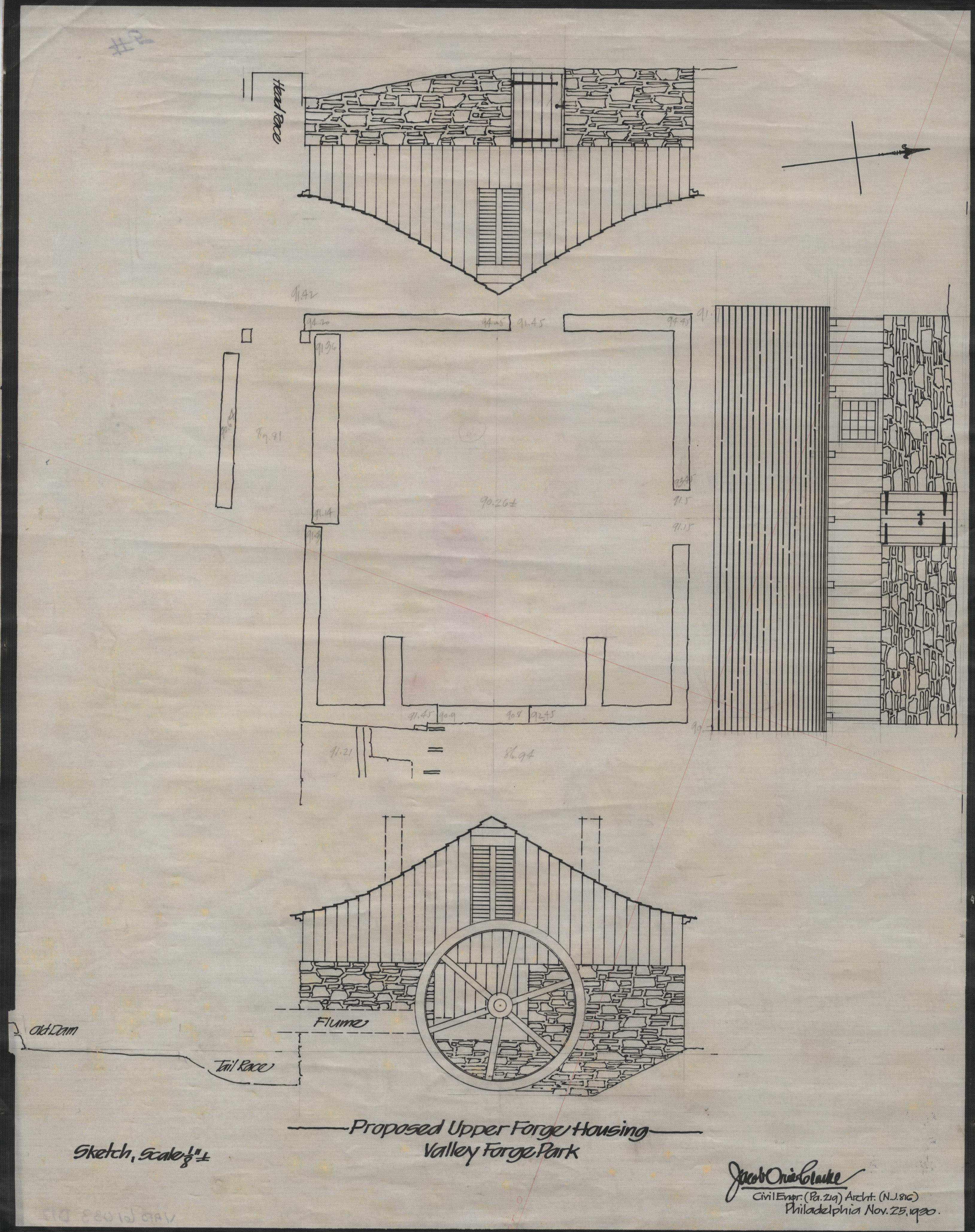
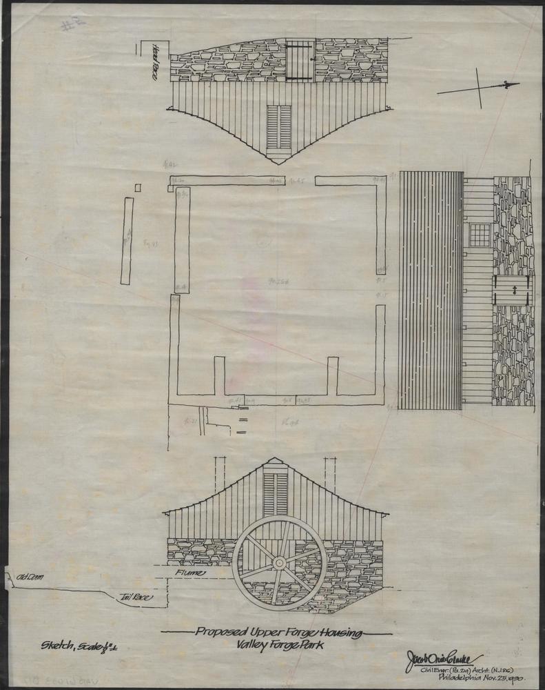
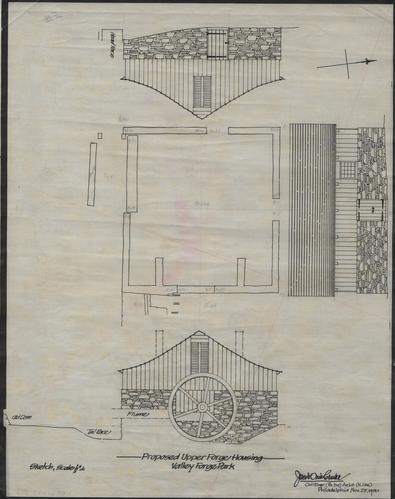
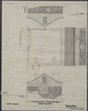
[Map of Upper Forge and Dam]
Jacob Orie Clarke Collection, D Series: Upper Forge/Middle Dam
MapId: 5 MapNo: D5 Material:Fabric backed Paperboard
U. S. National Park Service
Fair, Soiled. Drawing is folded, should be rolled. Clarke 133 S. 12th St.
Permission must be secured from the individual copyright owners to reproduce any copyrighted materials contained within this website.
Restrictions apply on use and/or reproduction
Valley Forge National Historical Park, Code: VAFO
03/09/1930
H 58.0, W 24.0"
Public Can View
Person: Curator
Organization: US National Park Service
Address: Valley Forge National Historic Park, King of Prussia PA
Friday, September 29, 2017 12:59:47 PM
Friday, September 29, 2017 12:59:47 PM
VAFO 61083 D 12 Upper Forge Housing 1930.jpg
Monday, January 1, 0001 12:00:00 AM
1.9 MB