Cherry Valley area west of Lake Eleanor; (taken to record area before extensive reservoir development)
Select Item below to DOWNLOAD - Once item is selected, right click and choose 'save as'
a3f22050852446f8baa05f7df9d05042
Cherry Valley area west of Lake Eleanor; (taken to record area before extensive reservoir development)
Negative Number: D_2534E
U. S. National Park Service
Permission must be secured from the individual copyright owners to reproduce any copyrighted materials contained within this website.
Public domain
014.012-06, (Yosemite Hierarchy Number)
, Scenics-Valleys, (Yosemite Series Description)
Image
Yosemite National Park, Code: YOSE
Yosemite National Park, California
Latitude: 37.8399200439453, Longitude: -119.540397644043

1950
01/01/1950 - 12/30/1950
YOSE: Box 24
Public Can View
Ralph H. Anderson
Person: Archivist
Organization: US National Park Service
Address: Yosemite National Park Archives, PO Box 700-W, El Portal, CA 95318
Email: yose_archives@nps.gov

Tuesday, August 14, 2018 12:08:24 PM
D_2534E.tif
tif
28.2 MB
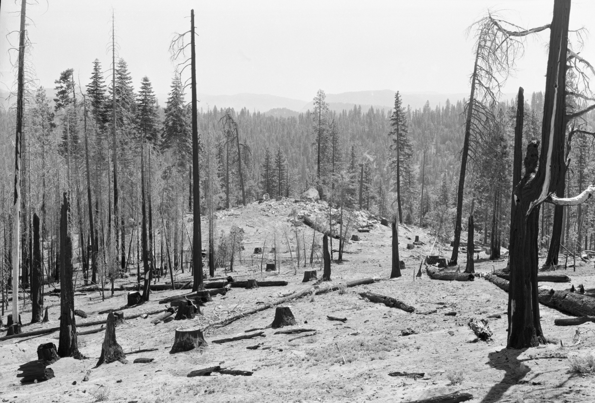
1031 Yosemite Historic Photo Collection
The digitizing of the historic photo collection was made possible through a grant from the Yosemite Conservancy
Museum