Select Item below to DOWNLOAD - Once item is selected, right click and choose 'save as'
73eeba35-8ce6-4e3a-aa1c-892a9b55a68e
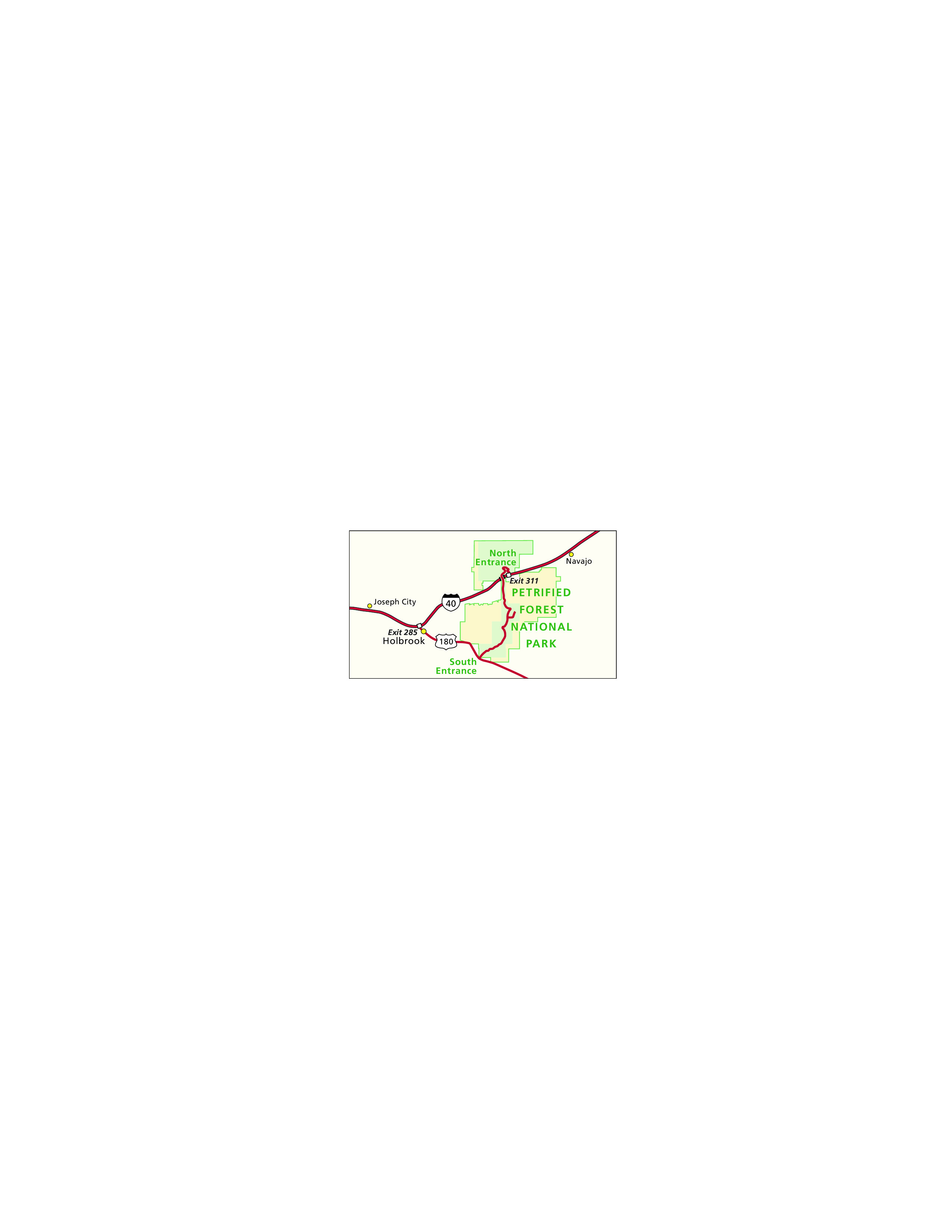
Area Map - Petrified Forest National Park
Area map of Petrified Forest National Park in Arizona. The park is outlined in green and shaded with blocks of pale green or yellow within that boundary. Red lines represent highways, and yellow dots represent towns.
Screen-viewable file; Adobe print production files can be downloaded from the Compressed zip Version link
Map Projection: Other; Map Type: unassigned
U.S. National Park Service
The National Park Service maps are government produced and are in the public domain. Anyone may, without restriction under U.S. copyright laws: Reproduce the work in print or digital form; Create derivative works; Perform the work publicly; Display the work; Distribute copies or digitally transfer the work to the public by sale or other transfer of ownership, or by rental, lease, or lending. Please note, a user who modifies and/or republishes National Park Service maps are responsible for any problems encountered with the maps, due to their change or modification.
Public domain
Document
Petrified Forest National Park, Code: PEFO
Petrified Forest National Park, Arizona
Latitude: 34.930980682373, Longitude: -109.77269744873
Latitude: 34.930980682373, Longitude: -109.77269744873
2011-04-13
Public Can View
Person: Harpers Ferry Center
Organization: US National Park Service
Address: Harpers Ferry Center, Harpers Ferry, WV
Email: HFC_Cartography@nps.gov
Organization: US National Park Service
Address: Harpers Ferry Center, Harpers Ferry, WV
Email: HFC_Cartography@nps.gov
Wednesday, April 27, 2022 9:20:53 PM
Friday, September 26, 2025 11:37:02 PM
PEFOmap2.pdf
pdf
421.3 kB
Map