Select Item below to DOWNLOAD - Once item is selected, right click and choose 'save as'
cc4b4bd513db4d18849dc29061146442
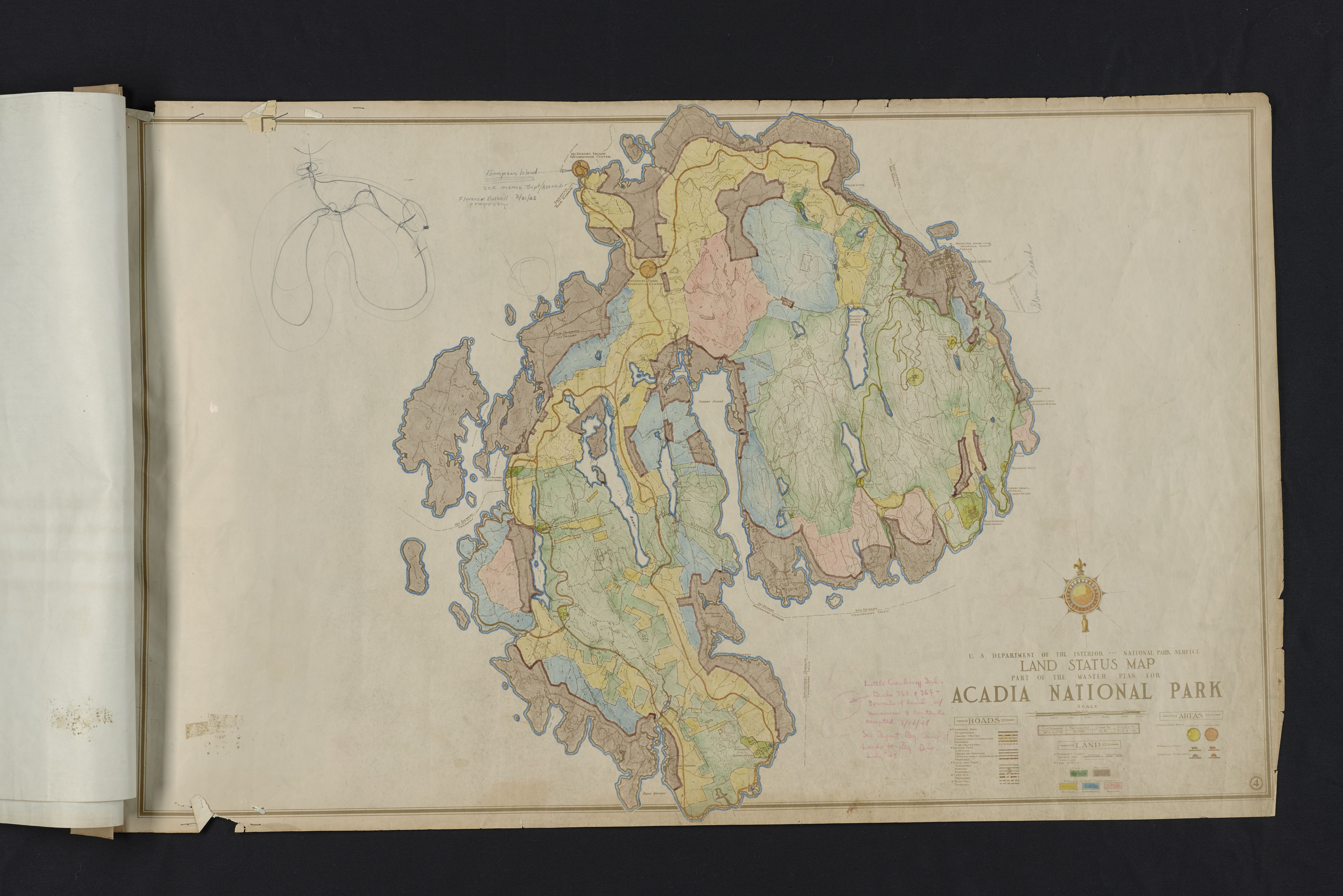
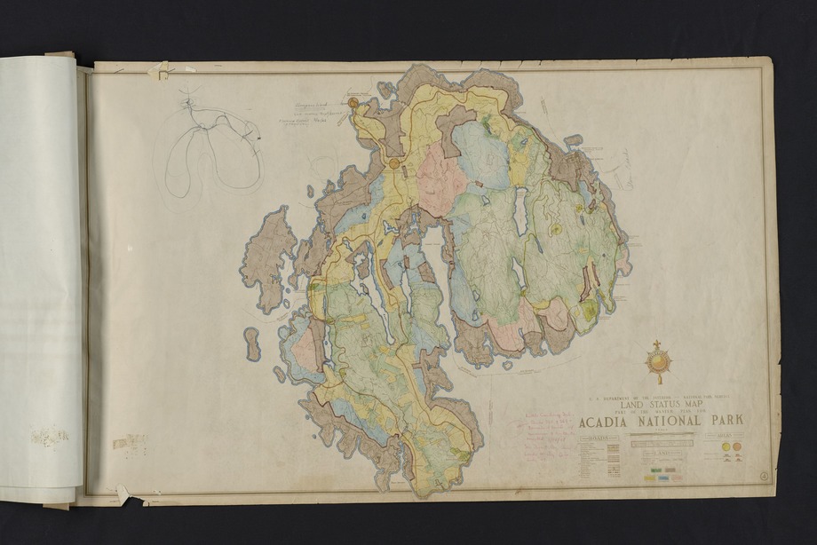
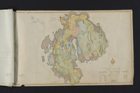
U.S. Department of the Interior National Park Service Land Status Map Part of the Master Plan for Acadia National Park
Hand colored map of Mount Desert Island showing the development status of park land parcels and roads. Prepared by BOPAD and drawn by BLB. Plan revived on April 1, 1942. Includes property lines, land status, developed areas, proposed areas, parking areas, parking overlooks, park roads, state roads, town roads, carriage roads, and truck trails. Includes caption related to Islesford. For additional plan information see related files: Master Plan, Land Status Map & Doc Pg 1.tif, Master Plan, Land Status Map & Doc Page 2.tif, and Master Plan, Land Status Map & Doc Page 3.tif. ; Plan Number: NPAca2695
CollectionNbr: 4000 ; SeriesNbr: 012.002.001 ;
U. S. National Park Service
Caption: "Thompson Island [triple underlined with arrow pointing to Thompson Island] See memo Supt/Assoc. Dir Florence Russel Property. 3/31/45" written in dark blue pencil in top left. Rough sketch of Mount Desert Island in upper left corner. An unidentified marking next to Green Island. "Storm Beach" written in blue pencil along right-side of Mount Desert Island with line pointing to Old Farm. "Little Cranberry Isl. Deeds 368 + 369 3 parcels of land w/ museum & contents accepted 7/14/1948 See Report Reg. Chief of Lands to Reg. Dir. … '48" written in red pencil in bottom right center of map.
Permission must be secured from the individual copyright owners to reproduce any copyrighted materials contained within this website.
Restrictions apply on use and/or reproduction
Image
Acadia National Park, Code: ACAD
Old Farm, Mount Desert Island,
Acadia National Park, Maine
Latitude: 44.3593788146973, Longitude: -68.2397308349609
Acadia National Park, Maine
Latitude: 44.3593788146973, Longitude: -68.2397308349609
April 1, 1942
04/01/1942
Paper ; Physical Characteristics: Fair/poor - Hand colored, captions, and printed text. Moderate/severe creases and tears. ; Extent: 1 Each
HQ/R5/U2/S3, HQ/R7, HQ/R8
Public Can View
Person: Curator
Organization: US National Park Service
Address: Acadia National Park, Bar Harbor ME
Email: Acadia_Collections@nps.gov
Organization: US National Park Service
Address: Acadia National Park, Bar Harbor ME
Email: Acadia_Collections@nps.gov
Wednesday, October 17, 2018 8:05:25 AM
Wednesday, October 17, 2018 8:05:25 AM
Master Plan, Land Status Map.tif
tif
216.9 MB
Historic