Latitude: 37.8399200439453, Longitude: -119.540397644043
Organization: US National Park Service
Address: Yosemite National Park Archives, PO Box 700-W, El Portal, CA 95318
Email: yose_archives@nps.gov
Yosemite Valley from the Wawona Road showing deep narrow gorge.
Yosemite Valley from the Wawona Road showing deep narrow gorge.
South wall of Yosemite Valley (for Max Antlers painting study)
South wall of Yosemite Valley (for Max Antlers painting study)
South wall of Yosemite Valley (for Max Antlers painting study)
Floor of Yosemite Valley looking east from Columbia Pt.
Aerial Photograph of flight over Park
Aerial Photograph of flight over Park
Aerial Photograph of flight over Park.
Aerial photograph of flight over park, Yosemite Valley.
Aerial photograph of flight over park, Yosemite Valley.
Yosemite Valley. Aerial photograph of flight over park.
Copy Neg: L. Radanovich, 2/98; From Yosemite Falls Trail
Wawona Road - view of Yosemite Valley from Turtle Back Dome.
View of Valley from Turtleback Dome. (Turn in new Wawona road.)
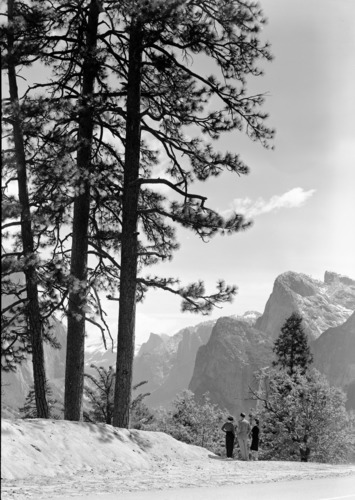
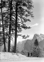
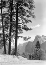
First view of Yosemite from Wawona Road.
YOSE RL_08165
View up Yosemite Valley from Big Oak Flat Road.
View up Yosemite Valley from Big Oak Flat Road.
View up Yosemite Valley from Big Oak Flat Road.
Yosemite Valley looking west. From the 4 mile trail to Glacier Point.
From 4 mile trail. Black's barn in distance where Yosemite Lodge before it burned in 1955. New lodge erected in 1955, SW of the original lodge. Photographer: Fiske (499)
Copied Dec. 1950 by Ralph H. Anderson from Carleton E. Watkins' photographs at the California State Library.
Copied Dec. 1950 by Ralph H. Anderson from Carleton E. Watkins' photographs at the California State Library.
Yosemite Valley from Rocky Ford.
YOSE RL_17023
YOSE RL_17024
View showing Old Village (upper right), Sentinel Hotel & Old Yosemite Lodge (lower right). Original in the over-sized photo drawer in RL. Copy Neg: J. Ernest, 1983.
Aerial view of Camp Curry.
Copy Neg: M. Floyd, 1993. Yosemite Valley floor & El Capitan from Pohono Trail, small point east of Old Inspiration Point.
Copy Neg: 1985 by M. Dixon; View from Rocky Point looking up the Valley - Merced River in lower right corner.
Copy Neg: 1985 by M. Dixon. View of Yosemite Valley.