Select Item below to DOWNLOAD - Once item is selected, right click and choose 'save as'
594f5345524f434b2022020150209031
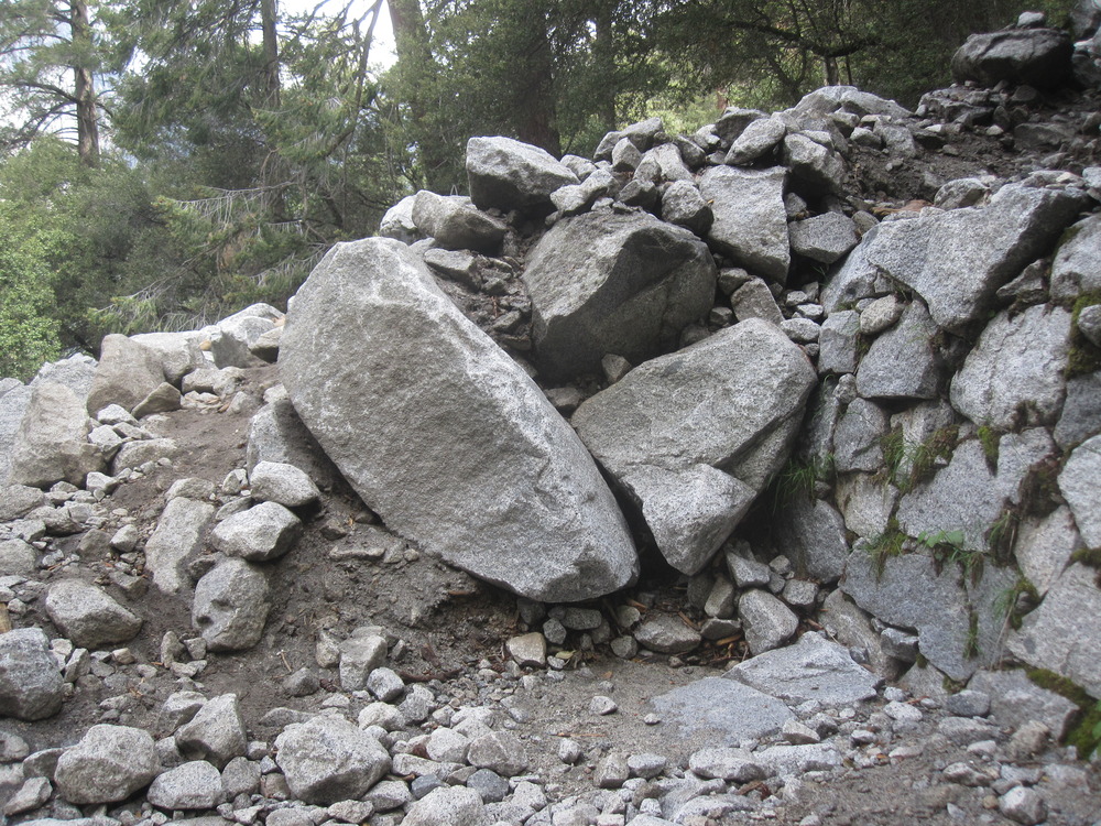
2015 Four Mile Trail debris flow
Rocky debris and boulders covering a portion of a trail.
A debris flow in the drainage west of Sentinel Rock. Debris crossed the Four Mile Trail in two places across a switchback approximately 1 km from the Valley floor trailhead.
UTM East: 271232; UTM North: 4179287; Elevation: 1382
U.S. National Park Service
To the best of our knowledge we believe this image to be copyright free and in the public domain. When using this asset for any purpose, including online, credit: 'Courtesy U.S. National Parks'
NPS Photographer
Public domain
image
Yosemite National Park, Code: YOSE
Glacier Point
Latitude: 37.7323029704948, Longitude: -119.59600322
Four Mile Trail
Yosemite National Park, California
Latitude: 37.8399200439453, Longitude: -119.540397644043
Latitude: 37.7323029704948, Longitude: -119.59600322
Four Mile Trail
Yosemite National Park, California
Latitude: 37.8399200439453, Longitude: -119.540397644043
20150407
02/09/2015
Public Can View
Organization: Yosemite NP
Position: Park Geologist
Address: El Portal, CA 95318
Email: greg_stock@nps.gov
Position: Park Geologist
Address: El Portal, CA 95318
Email: greg_stock@nps.gov
Wednesday, May 11, 2022 11:52:14 PM
Tuesday, August 9, 2022 5:37:10 PM
2015020903_1_NPS.jpg
jpg
4.8 MB
Events