Select Item below to DOWNLOAD - Once item is selected, right click and choose 'save as'
594f5345524f434b2022019820403012
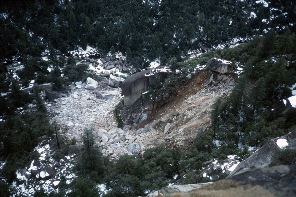
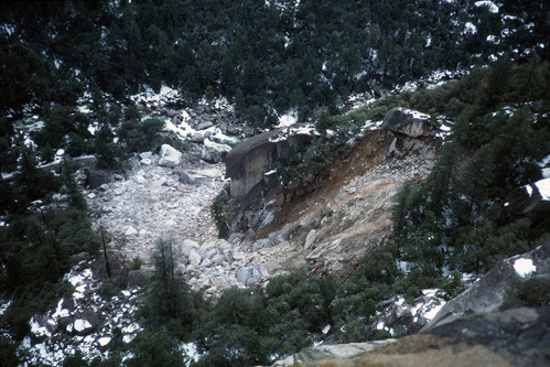
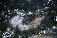
1982 Cookie Cliff rock slide
Aerial perspective of a rock slide source area and fresh rock debris covering a swath of the slope and road below. Light snow coverage throughout landscape.
Aerial perspective of a rock slide source area and fresh rock debris. Light colored boulders cover a swath of the slope and destroyed a portion of the road below.
UTM East: 260292; UTM North: 4178065; Elevation: 1226
U.S. National Park Service
To the best of our knowledge we believe this image to be copyright free and in the public domain. When using this asset for any purpose, including online, credit: 'Courtesy U.S. National Parks'
Malcolm Clark / USGS
Public domain
image
Yosemite National Park, Code: YOSE
Merced River Gorge
Latitude: 37.7185027896824, Longitude: -119.71961955
Cookie Cliff
Yosemite National Park, California
Latitude: 37.8399200439453, Longitude: -119.540397644043
Latitude: 37.7185027896824, Longitude: -119.71961955
Cookie Cliff
Yosemite National Park, California
Latitude: 37.8399200439453, Longitude: -119.540397644043
19820403
04/03/1982
Public Can View
Organization: Yosemite NP
Position: Park Geologist
Address: El Portal, CA 95318
Email: greg_stock@nps.gov
Position: Park Geologist
Address: El Portal, CA 95318
Email: greg_stock@nps.gov
Thursday, May 12, 2022 12:04:30 AM
Tuesday, August 9, 2022 6:33:06 PM
1982040301_2_USGS_Malcolm_Clark.jpg
jpg
7.9 MB
Events