Select Item below to DOWNLOAD - Once item is selected, right click and choose 'save as'
169ad67513dc4b55bce22ed95596d048
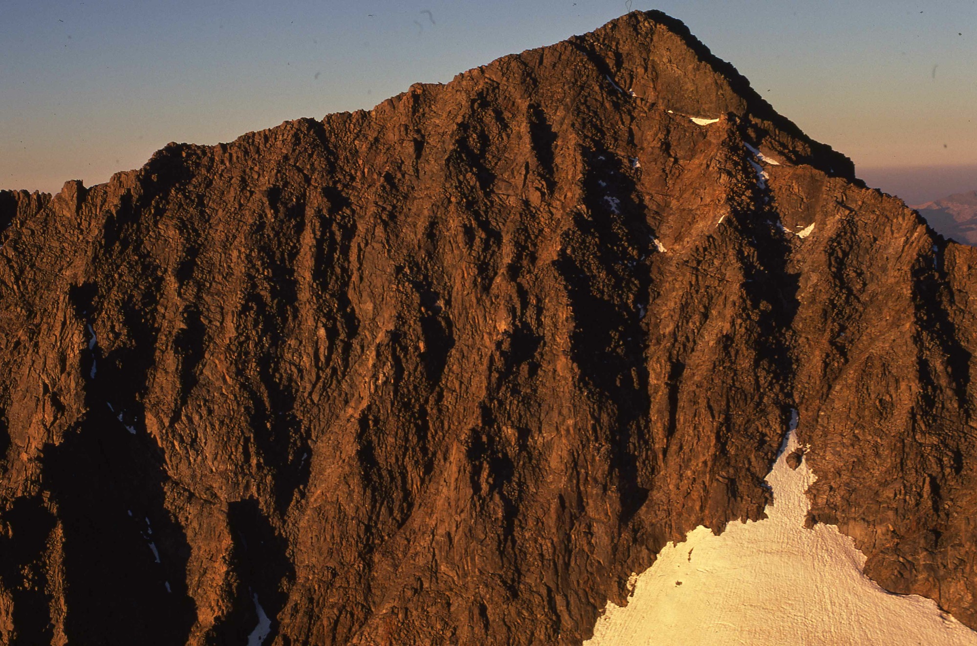
Minaret Range
Minaret Range
[Peaks - Minaret Range]. East face of Ritter - first ascent of John Muir trail, 1873 feet from top of glacier. SEP74P5. Yosemite Original. HW [Copyright Unknown]. A-26-43-023
Slide Number: A-26-43-023
U. S. National Park Service
Permission must be secured from the individual copyright owners to reproduce any copyrighted materials contained within this website.
Public domain
Image
Yosemite National Park, Code: YOSE
Minaret Range
Yosemite National Park, California
Latitude: 37.8399200439453, Longitude: -119.540397644043
Yosemite National Park, California
Latitude: 37.8399200439453, Longitude: -119.540397644043
2012/07/18
09/01/1974
Person: Archivist
Organization: US National Park Service
Address: Yosemite National Park Archives, PO Box 700-W, El Portal, CA 95318
Email: yose_archives@nps.gov
Organization: US National Park Service
Address: Yosemite National Park Archives, PO Box 700-W, El Portal, CA 95318
Email: yose_archives@nps.gov
Thursday, May 30, 2019 1:42:09 PM
Thursday, May 30, 2019 1:42:09 PM
A-26-43-023.jpg
jpg
631.8 kB
Historic