Select Item below to DOWNLOAD - Once item is selected, right click and choose 'save as'
5f58ebacbbe14c07b96a7fbffe0746b3
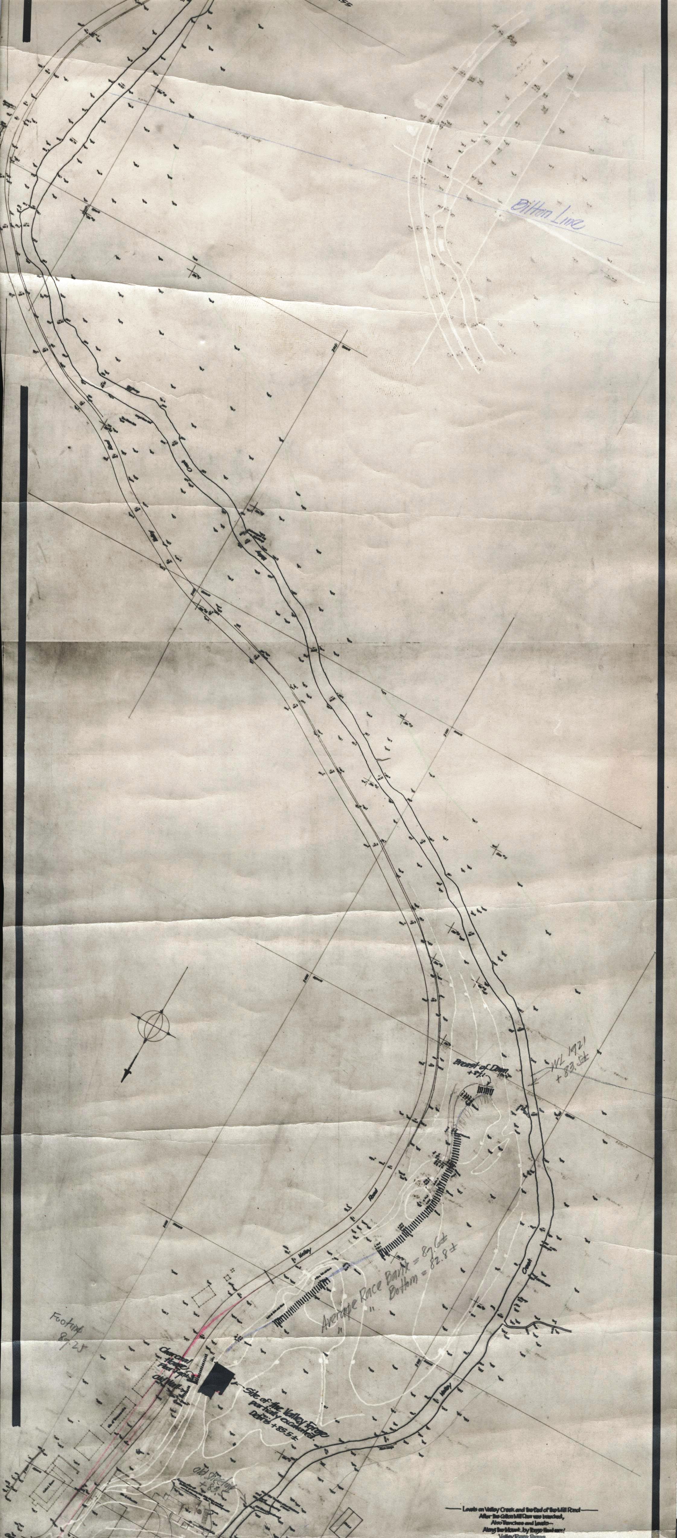
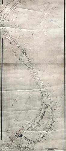
Levels on Valley Creek and the Bed of the Mill Pond after the Cotton Mill Dam was Breached, also Trenches and Levels - along the Mount Joy Forge Head-Race, Valley Forge, Pennsylvania
Jacob Orie Clarke Collection, C Series: Valley Creek
MapId: 18 MapNo: C18 Material:Photostat
U. S. National Park Service
Fair. Additions to C6.
Permission must be secured from the individual copyright owners to reproduce any copyrighted materials contained within this website.
Restrictions apply on use and/or reproduction
Image
Valley Forge National Historical Park, Code: VAFO
20150513
H 21.0, W 7 5/8
Public Can View
Person: Curator
Organization: US National Park Service
Address: Valley Forge National Historic Park, King of Prussia PA
Organization: US National Park Service
Address: Valley Forge National Historic Park, King of Prussia PA
Friday, September 29, 2017 12:57:18 PM
Friday, September 29, 2017 12:57:18 PM
VAFO 61083 C18 Levels on Valley Creek, Mill Pond 1930.jpg
Monday, January 1, 0001 12:00:00 AM
jpg
1.3 MB
Historic
Schedule for Creek Wall-Grading, etc., Valley Forge Park, Drawing No. 3
Map of a Piece of Land on Valley Creek in Schuylkill Township, Chester County, Pennsylvania.
Map of a Piece of Land on Valley Creek in Schuylkill Township, Chester County, Pennsylvania.
[Upper Forge Floor - Sluice Box at Site of Dam]
Sketch Showing Corner Stones Required Extension of Valley Forge Park, 1915 & 1916
Schedule for Creek Wall-Grading, etc., Valley Forge Park, Drawing No. 3