Select Item below to DOWNLOAD - Once item is selected, right click and choose 'save as'
b6bbb7a9-4da6-42a1-b5ad-22a78ae08925
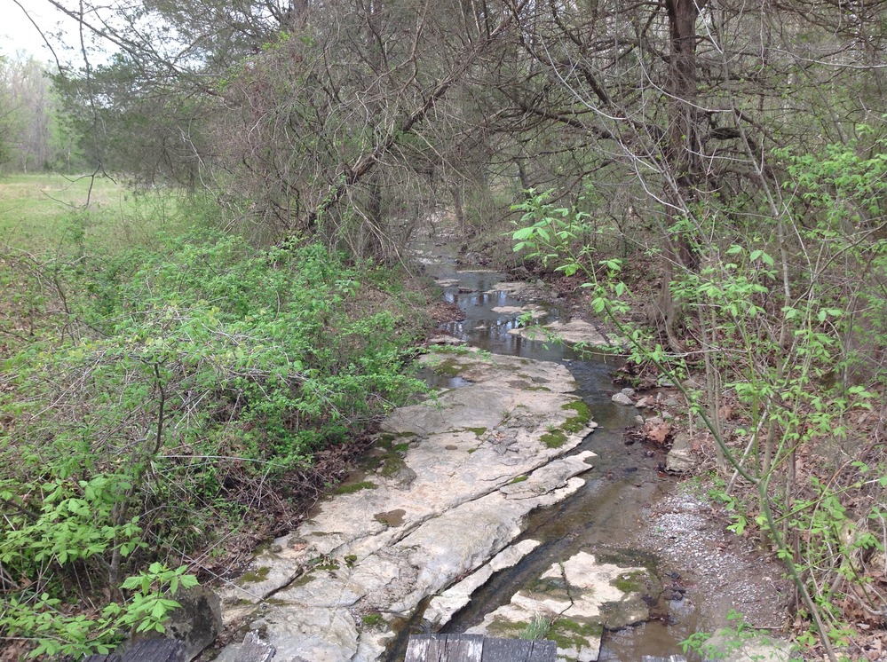
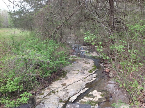
A view of a semi-dry creekbed at Rock Bottom Creek Crossing in Union County, Illinois
A stream running through a wooded area.
A view of a semi-dry creekbed at Rock Bottom Creek Crossing in Union County, Illinois
U.S. National Park Service
Permission must be secured from the individual copyright owners to reproduce any copyrighted materials contained within this website.
Public domain
Illinois, (Trail of Tears National Historic Trail State)
Image
Trail of Tears National Historic Trail, Code: TRTE
Union County, Illinois
Latitude: 37.4534388889, Longitude: -89.0686027777999
Trail of Tears National Historic Trail
Latitude: 37.4534388889, Longitude: -89.0686027777999
Trail of Tears National Historic Trail
20150415
04/15/2015
Shot On: iPad; Dimensions 2592 x 1936; Shot 1/160 sec. f/2.4 4.28mm; ISO 50; Size 2.9 MB
Public Can View
Organization: US National Park Service
Address: PO Box 728, Santa Fe, New Mexico 87504, Phone:(505) 988-6098
Email: ntir_information@NPS.gov
Address: PO Box 728, Santa Fe, New Mexico 87504, Phone:(505) 988-6098
Email: ntir_information@NPS.gov
Thursday, May 25, 2023 5:08:20 PM
Thursday, May 25, 2023 5:08:20 PM
TRTE_IL_UnionCounty_WoodsRoadRockBottomCreekCrossing_20150415_NPS_(64).JPG
jpg
3.0 MB
Scenic
,
Historic