Select Item below to DOWNLOAD - Once item is selected, right click and choose 'save as'
87f5c0a095224eb4a069528bf8bfda37
Faint trail trace at Comanche National Grassland meets blue skies, 3
A grassy field under a blue sky.
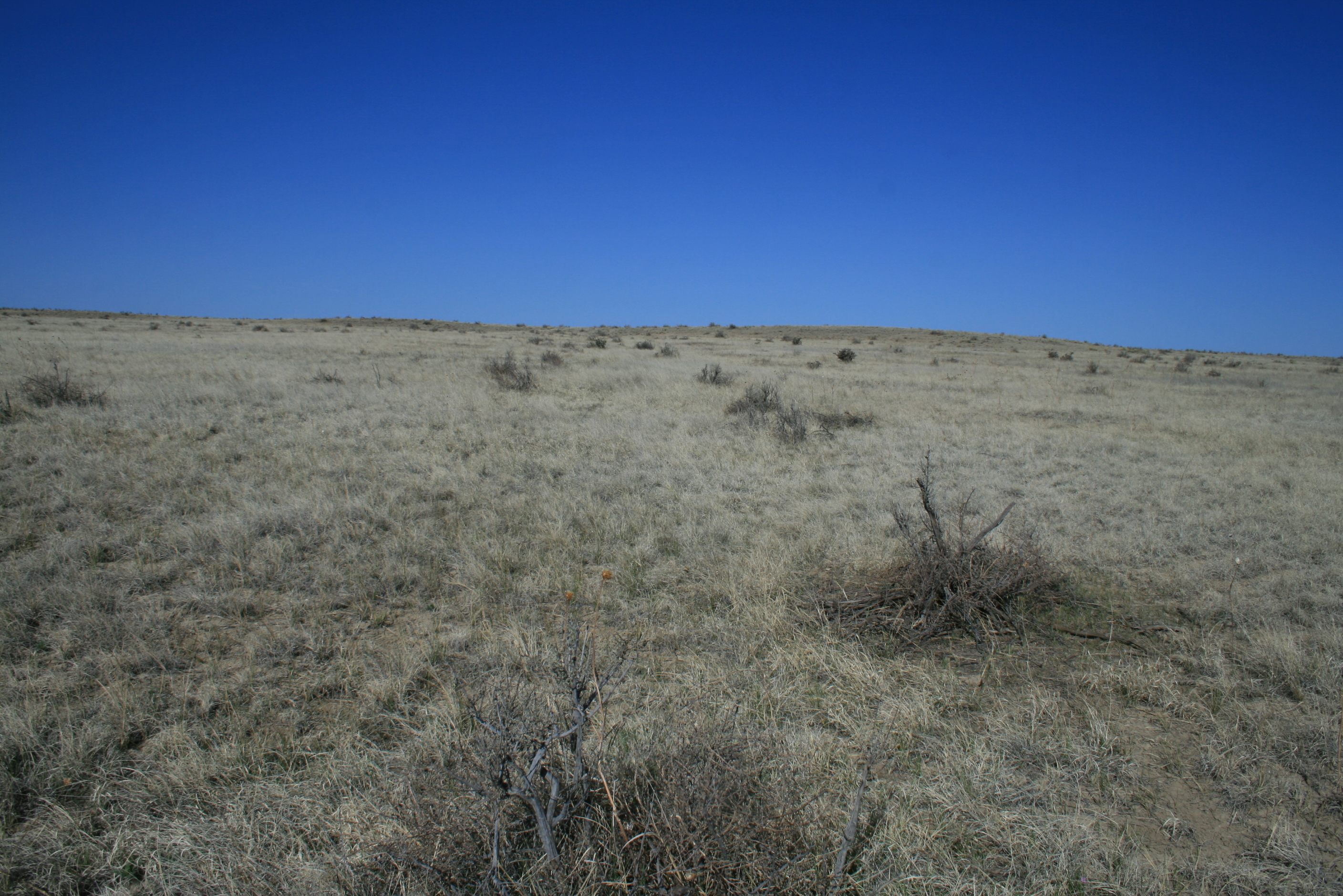
More prairie with dead bushes at Comanche National Grassland; Iron Spring meant a welcome stop for water for both traders and stage coach travelers. Trail ruts are visible nearby.
U.S. National Park Service
Permission must be secured from the individual copyright owners to reproduce any copyrighted materials contained within this website.
Public domain
Colorado, (SanteFe Trail State)
Image
Santa Fe National Historic Trail, Code: SAFE
LaJunta ; Comanche National Grassland ; Iron Spring, Otero County, Colorado
Santa Fe National Historic Trail
Latitude: 37.9892997741699, Longitude: -99.3414993286133
Santa Fe National Historic Trail
Latitude: 37.9892997741699, Longitude: -99.3414993286133
20180427
04/27/2018
Shot On: Canon EOS DIGITAL REBEL XTi; Dimensions 2816 x 1880; Shot 1/320 sec. f/11 18mm; ISO 100; Size 2.7 MB
Public Can View
Organization: US National Park Service
Address: PO Box 728, Santa Fe, New Mexico 87504, Phone:(505) 988-6098
Email: ntir_information@NPS.gov
Address: PO Box 728, Santa Fe, New Mexico 87504, Phone:(505) 988-6098
Email: ntir_information@NPS.gov
Tuesday, November 3, 2020 5:36:14 PM
Tuesday, November 3, 2020 5:36:14 PM
SAFE_CO_LaJunta_TrailRemnantsCimarronRtComancheNatGrasslandsIronSpring_20180427_NPS_(30).JPG
jpg
2.8 MB
Scenic
,
Historic