Select Item below to DOWNLOAD - Once item is selected, right click and choose 'save as'
38be7c6f248f43e8add297b8467893a4
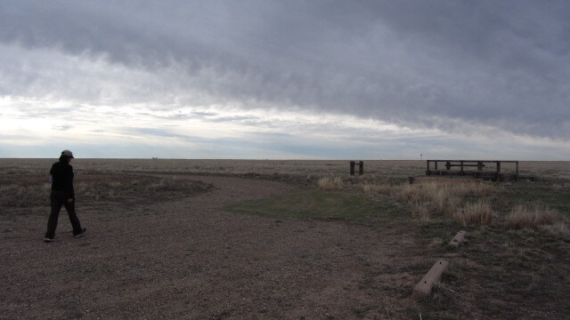
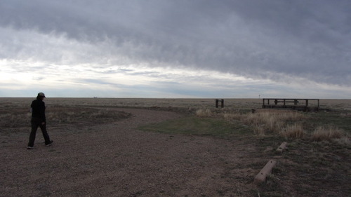
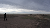
NTIR staff walking on a gravel road at Cimarron National Grassland
A man walking on a dirt road under a cloudy sky.
NTIR Staff walking in the parking lot; https://www.fs.usda.gov/recarea/psicc/recarea/?recid=12419
U.S. National Park Service
Permission must be secured from the individual copyright owners to reproduce any copyrighted materials contained within this website.
Public domain
Kansas, (SanteFe Trail State)
Image
Santa Fe National Historic Trail, Code: SAFE
Stevens County ; Cimarron National Grassland ; Conestoga Trailhead, Morton County, Kansas
Santa Fe National Historic Trail
Latitude: 37.9892997741699, Longitude: -99.3414993286133
Santa Fe National Historic Trail
Latitude: 37.9892997741699, Longitude: -99.3414993286133
20150413
04/13/2015
Shot On: Canon PowerShot SX230 HS; Dimensions 640 x 360; Shot 1/640 sec. f/4 5mm; ISO 100; Size 71.8 KB
Public Can View
Organization: US National Park Service
Address: PO Box 728, Santa Fe, New Mexico 87504, Phone:(505) 988-6098
Email: ntir_information@NPS.gov
Address: PO Box 728, Santa Fe, New Mexico 87504, Phone:(505) 988-6098
Email: ntir_information@NPS.gov
Tuesday, November 3, 2020 4:12:16 PM
Tuesday, November 3, 2020 4:12:16 PM
SAFE_KS_ConestogaTrailheadCimarronNationalGrassland_20150413_NPS_(04).JPG
jpg
73.6 kB
Scenic
,
Historic