Select Item below to DOWNLOAD - Once item is selected, right click and choose 'save as'
1b5fd046fdcb42c4acdccc71afbad3d2
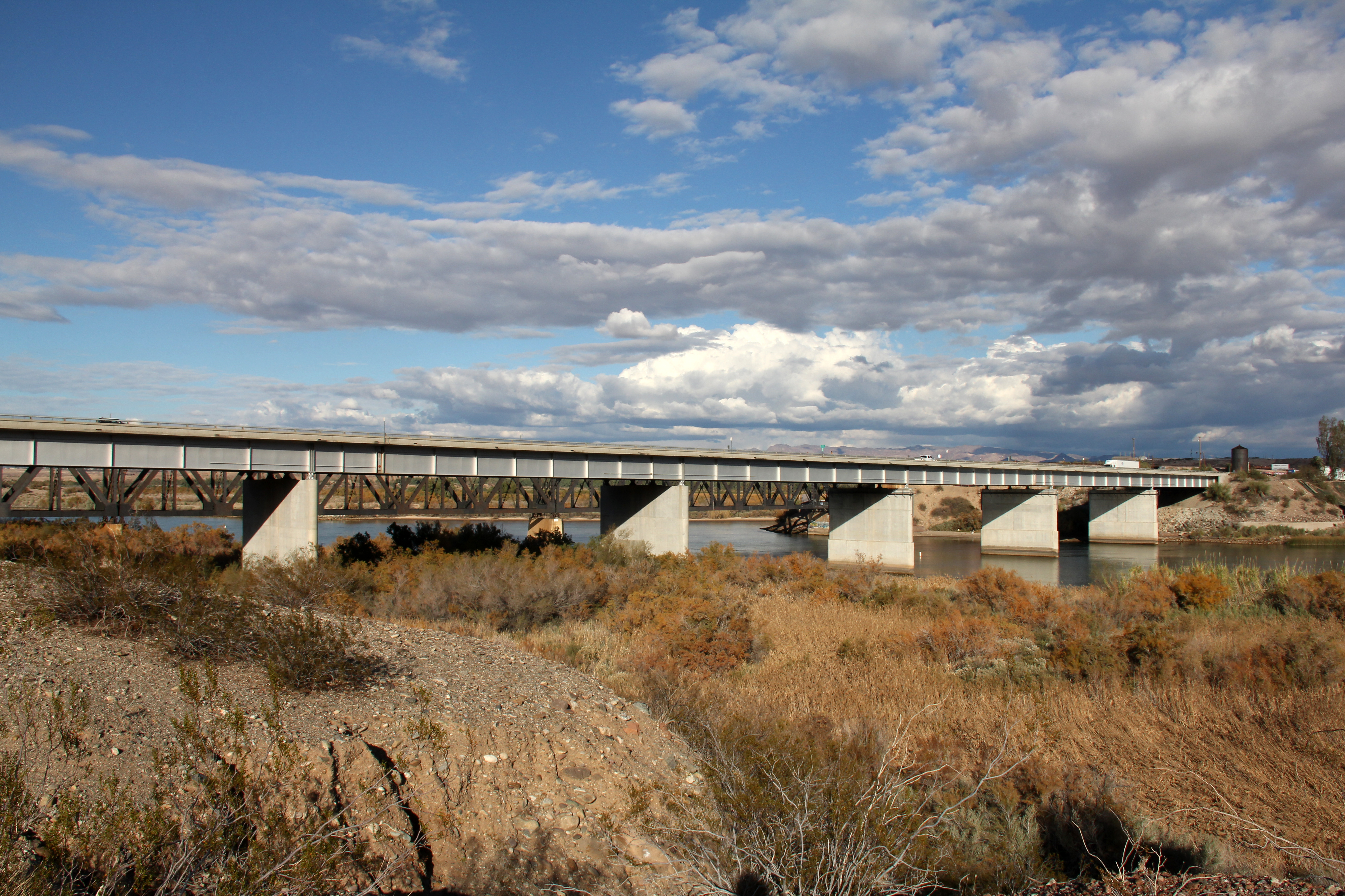
4-lane I-40 bridge on the Colorado River at Topock (final route of 66 into California).
4-lane I-40 bridge on the Colorado River at Topock (final route of 66 into California).
7-span Ribbed Steel Girder; Open to traffic
U.S. National Park Service
IN COPYRIGHT. This Item is protected by copyright and/or related rights. Copyright: Ross, Jim
Jim Ross
Restrictions apply on use and/or reproduction:Copyrighted material
Image
Route 66 Corridor Preservation Program, Code: ROSI
Mohave County, Arizona
Latitude: 34.717197, Longitude: -114.487454
Latitude: 34.717197, Longitude: -114.487454
20131124
01/01/1966
Public Can View
Organization: National Trails, US National Park Service
Address: Route 66 Corridor Preservation Program, PO Box 728 Santa Fe, NM 87505, Phone: (505) 988-6701
Email: IM_RT66@nps.gov
Address: Route 66 Corridor Preservation Program, PO Box 728 Santa Fe, NM 87505, Phone: (505) 988-6701
Email: IM_RT66@nps.gov
Thursday, May 28, 2020 10:30:31 AM
Thursday, May 28, 2020 10:30:31 AM
56-IMG_7432.jpg
jpg
10.2 MB
Inventory