Select Item below to DOWNLOAD - Once item is selected, right click and choose 'save as'
57666fed09714e43875749a8aebceb93
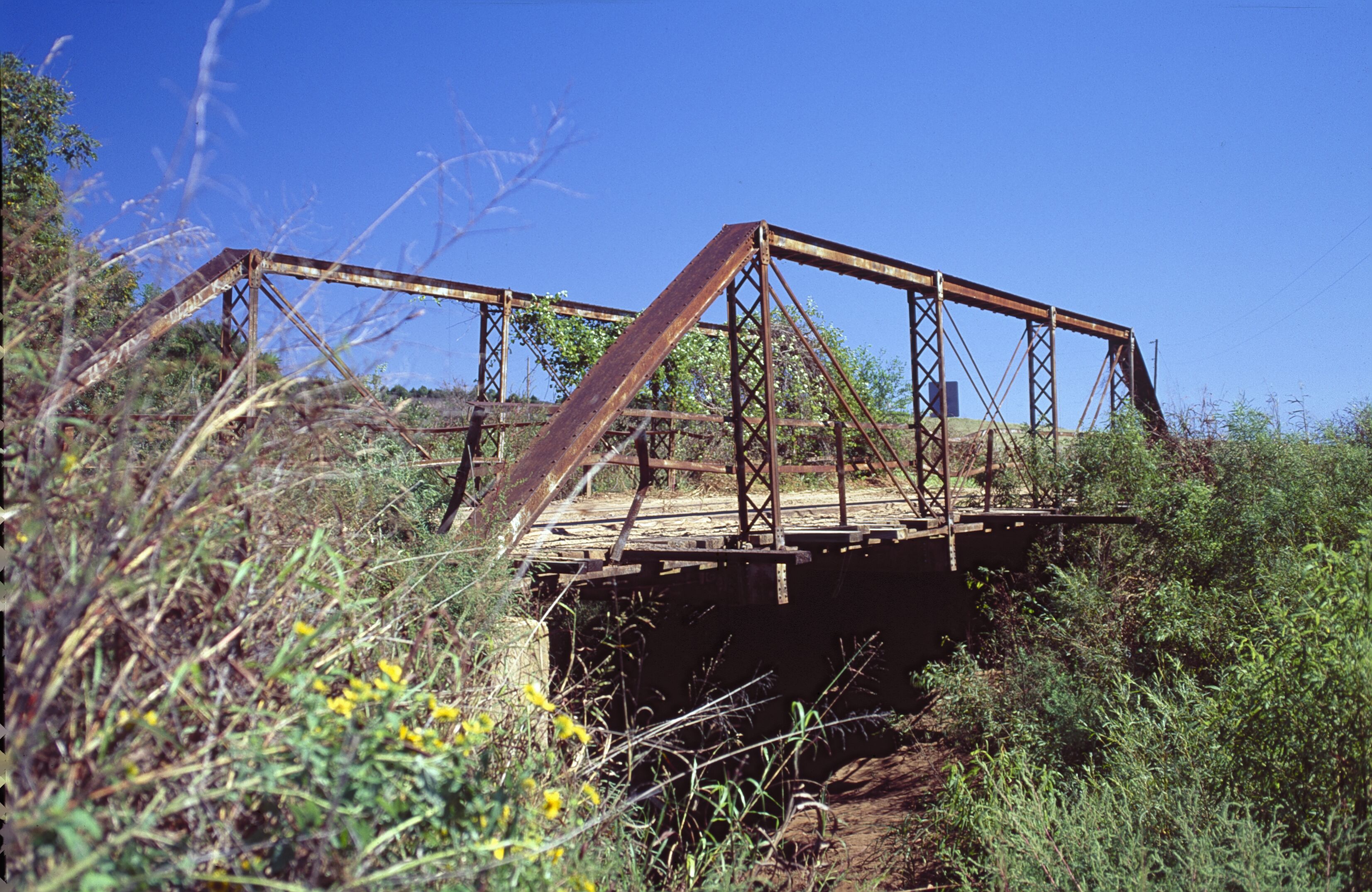
Lost bridge on Lumpmouth Creek on unpaved 1926 route S. of Geary.
Lost bridge on Lumpmouth Creek on unpaved 1926 route S. of Geary.
One-lane, Single-span Pratt Pony truss with timber deck; GONE; replaced in 1995 with a Steel Beam bridge
U.S. National Park Service
IN COPYRIGHT. This Item is protected by copyright and/or related rights. Copyright: Ross, Jim
Jim Ross
Restrictions apply on use and/or reproduction:Copyrighted material
Image
Route 66 Corridor Preservation Program, Code: ROSI
Blaine County, Oklahoma
Latitude: 35.564593, Longitude: -98.332445
Latitude: 35.564593, Longitude: -98.332445
20121012
01/01/1920
Public Can View
Organization: National Trails, US National Park Service
Address: Route 66 Corridor Preservation Program, PO Box 728 Santa Fe, NM 87505, Phone: (505) 988-6701
Email: IM_RT66@nps.gov
Address: Route 66 Corridor Preservation Program, PO Box 728 Santa Fe, NM 87505, Phone: (505) 988-6701
Email: IM_RT66@nps.gov
Thursday, May 28, 2020 8:09:47 AM
Thursday, May 28, 2020 8:09:47 AM
151-Lumpmouth Creek BrOK.tif
tif
21.4 MB
Inventory