Select Item below to DOWNLOAD - Once item is selected, right click and choose 'save as'
0376e34067b442778c96a0d5eb8e2b47
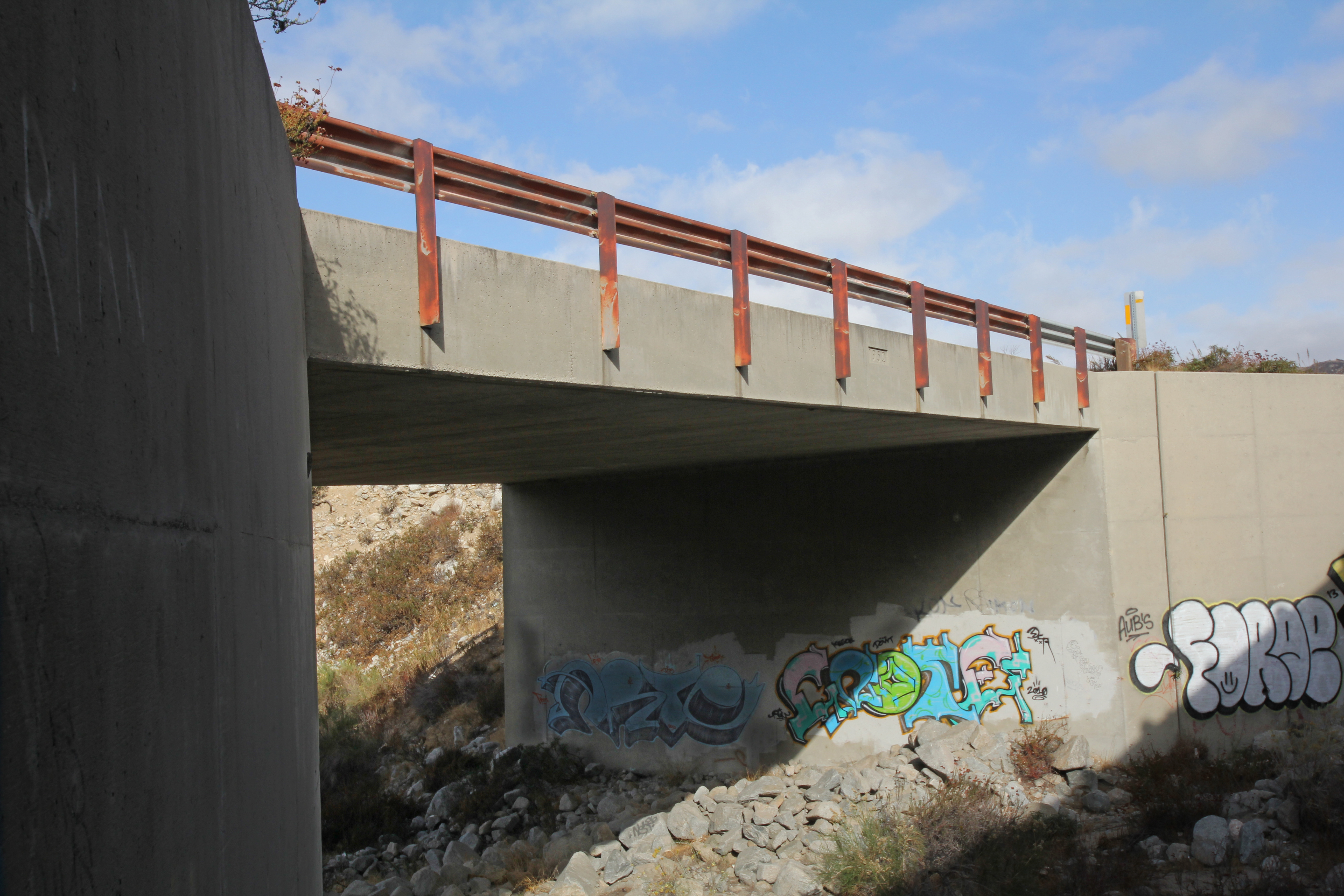
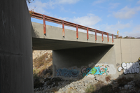
Slab bridge on Cleghorn Creek on the 4-lane expansion .2 mi. WB from Zuni Creek.
Single-span Concrete Slab; Open to traffic
U.S. National Park Service
IN COPYRIGHT. This Item is protected by copyright and/or related rights. Copyright: Ross, Jim
Jim Ross
Restrictions apply on use and/or reproduction:Copyrighted material
Image
Route 66 Corridor Preservation Program, Code: ROSI
San Bernardino County, California
Latitude: 34.289413, Longitude: -117.453016
Latitude: 34.289413, Longitude: -117.453016
20131116
01/01/1952
Public Can View
Organization: National Trails, US National Park Service
Address: Route 66 Corridor Preservation Program, PO Box 728 Santa Fe, NM 87505, Phone: (505) 988-6701
Email: IM_RT66@nps.gov
Address: Route 66 Corridor Preservation Program, PO Box 728 Santa Fe, NM 87505, Phone: (505) 988-6701
Email: IM_RT66@nps.gov
Thursday, May 28, 2020 10:22:24 AM
Thursday, May 28, 2020 10:22:24 AM
141-IMG_6489.jpg
jpg
7.5 MB
Inventory