Select Item below to DOWNLOAD - Once item is selected, right click and choose 'save as'
ef42e66f-1c2a-4e55-aebd-afc52be1939a
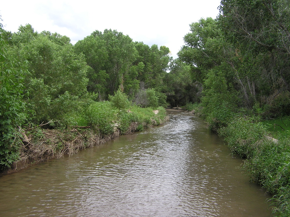
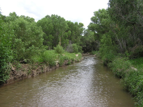
Santa Cruz River
river corridor with eroded banks and overcast sky
Scenes from the Anza Trail between Tumacácori and Tubac
Permission must be secured from the individual copyright owners to reproduce any copyrighted materials contained within this website. Digital assets without any copyright restrictions are public domain.
NPS Photo
Public domain:Full Granting Rights
Image
Tumacacori National Historical Park, Code: TUMA
Juan Bautista de Anza National Historic Trail, Code: JUBA
Juan Bautista de Anza National Historic Trail, Code: JUBA
Tumacacori National Historical Park, Santa Cruz County, Arizona
Latitude: 31.5727996826172, Longitude: -111.047996520996
Juan Bautista de Anza National Historic Trail
Latitude: 31.3392162322998, Longitude: -110.94580078125
Latitude: 31.5727996826172, Longitude: -111.047996520996
Juan Bautista de Anza National Historic Trail
Latitude: 31.3392162322998, Longitude: -110.94580078125
08/23/2004
08/23/2004
Public Can View
NPS Photo
Sunday, August 16, 2020 12:44:41 PM
Tuesday, March 12, 2024 7:22:18 PM
2004-08-23 river (5).jpg
jpg
758.4 kB
Scenic