Select Item below to DOWNLOAD - Once item is selected, right click and choose 'save as'
d3cc4d91-3958-4d44-8c81-3106de2b43cb
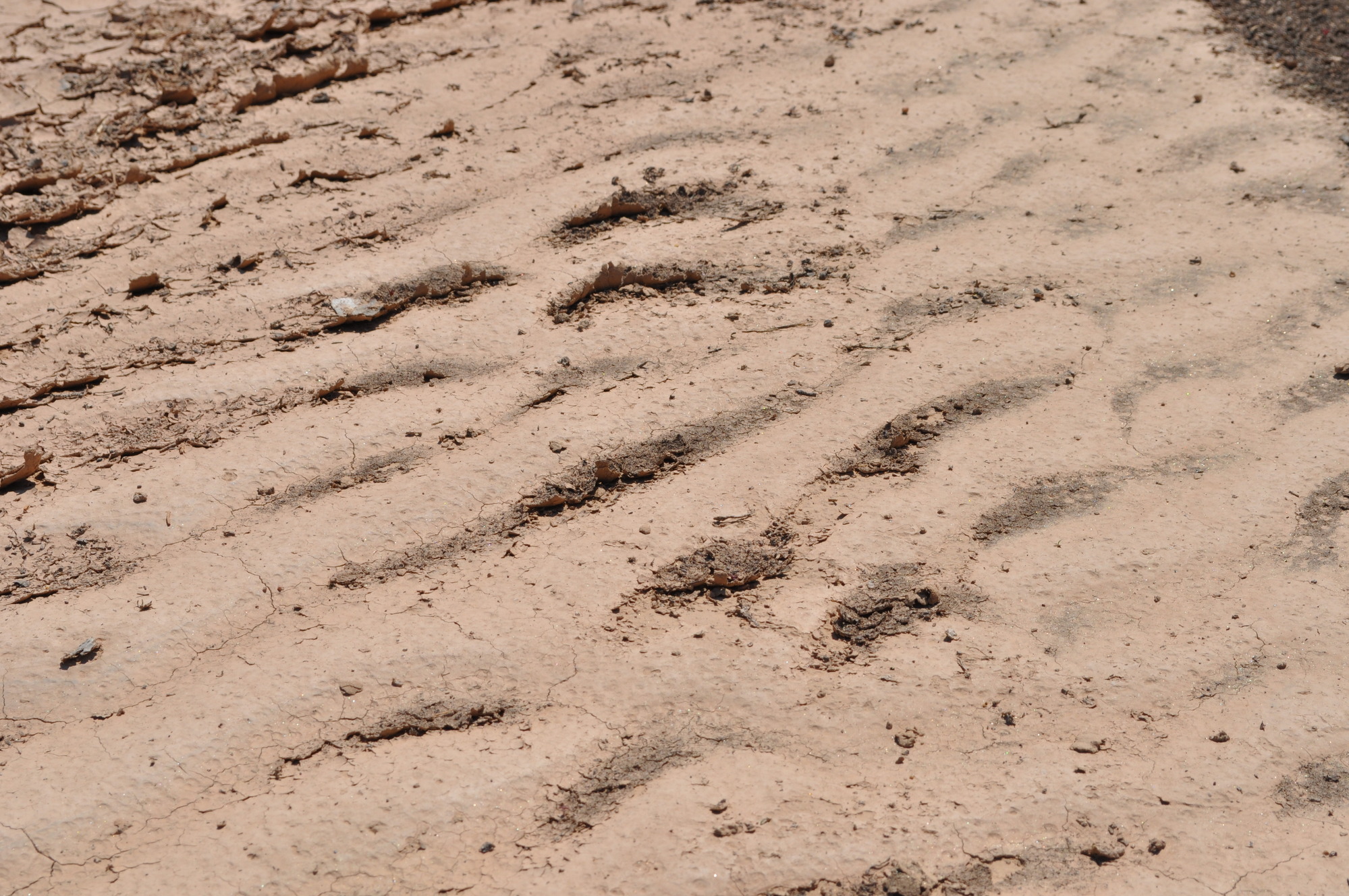
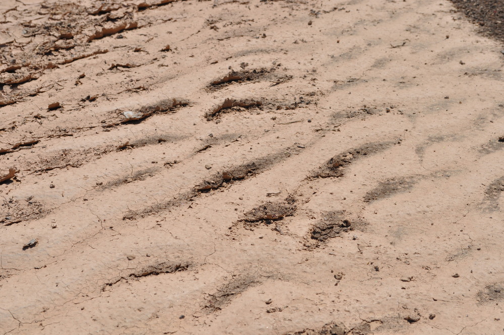
Dried sand after monsoon waters receded in the Rio Tesuque at Pojoaque Pueblo near Santa Fe, NM
A sand dune with footprints in the sand.
Dried sand after monsoon waters receded in the Rio Tesuque at Pojoaque Pueblo near Santa Fe, NM; https://www.bia.gov/tribal-leaders/pueblo-pojoaque
U.S. National Park Service
Permission must be secured from the individual copyright owners to reproduce any copyrighted materials contained within this website.
Public domain
New Mexico, (ELCA States List)
Image
El Camino Real de Tierra Adentro National Historic Trail, Code: ELCA
Pojoaque Pueblo ; Rio Nambe ; Rio Tesuque, Santa Fe County, New Mexico
El Camino Real de Tierra Adentro National Historic Trail
El Camino Real de Tierra Adentro National Historic Trail
20120809
08/09/2012
Shot On: NIKON D5000; Dimensions 4288 x 2848; Shot 1/500 sec. f/11 48mm; ISO 200; Size 5.6 MB
Public Can View
Organization: US National Park Service
Address: 1100 Old Santa Fe Trail, Santa Fe, New Mexico 87505, Phone:(505) 988-6098
Email: ntir_information@NPS.gov
Address: 1100 Old Santa Fe Trail, Santa Fe, New Mexico 87505, Phone:(505) 988-6098
Email: ntir_information@NPS.gov
Thursday, May 25, 2023 6:30:20 PM
Thursday, May 25, 2023 6:30:20 PM
ELCA_NM_SantaFeCounty_PojoaquePueblo_RioNambe_RioTesuque_20120809_(13).JPG
jpg
5.9 MB
Scenic
,
Historic