Select Item below to DOWNLOAD - Once item is selected, right click and choose 'save as'
144e8b99b7904d67837987bfd8f6830f
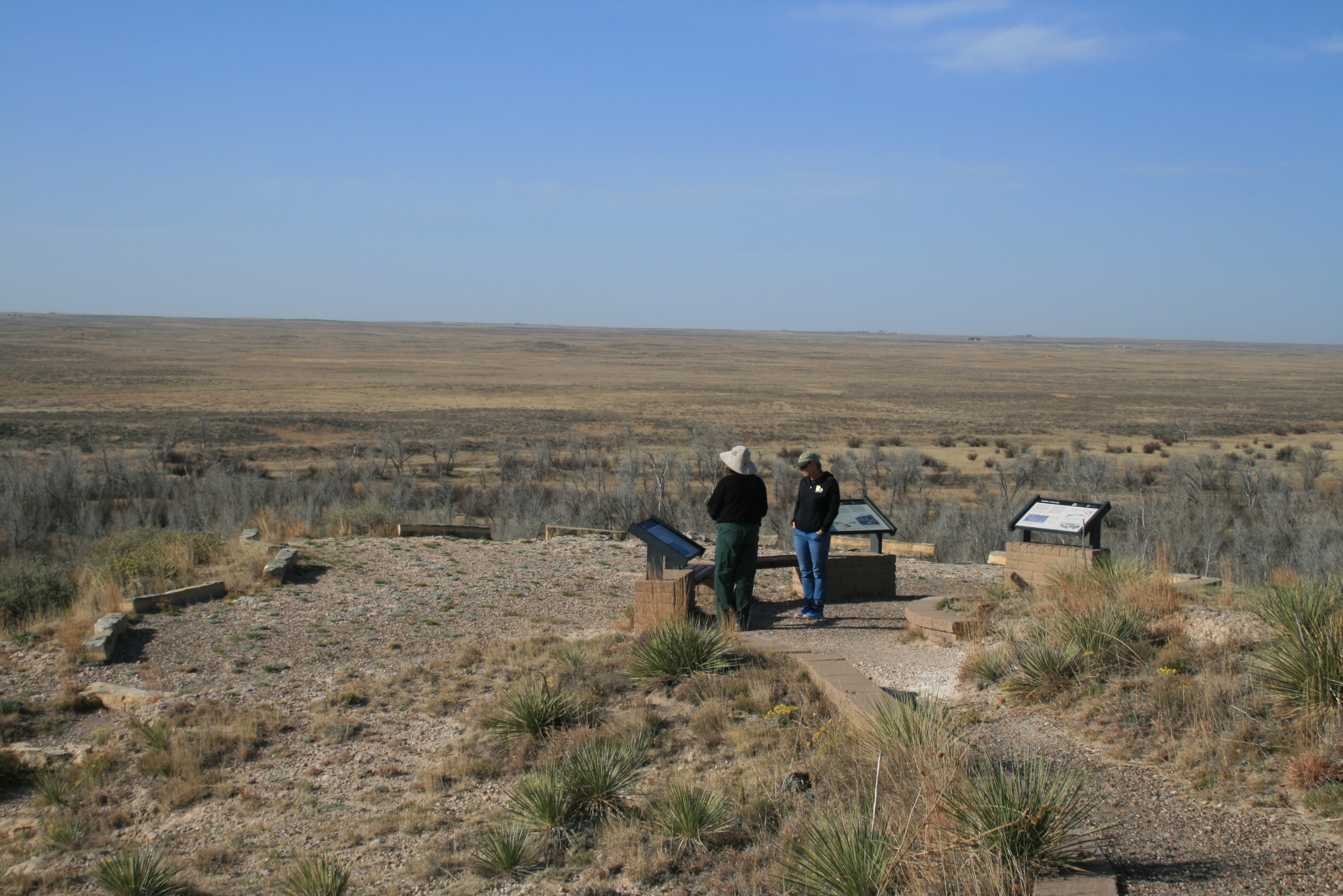
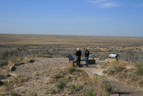
Scenic overlook with waysides at Point of Rocks Overlook
A group of people stand near informational displays overlooking a vast grassy plain under a blue sky.
(2) people looking at waysides atop Point of Rocks; Located 8 miles north of Elkhart on Kansas 27, 1.5 miles west on a dirt road. It was a lookout for Indians and traders. It appears now as it did back then and ruts can be seen in the surrounding grassland.; https://www.nps.gov/nr/feature/places/13000151.htm
People in photo: Jill Jensen, NTIR (with white words on dark shirt); Michelle Stevens, USFS archaeologist (floppy hat); and Mike Taylor, NTIR.
U.S. National Park Service
Permission must be secured from the individual copyright owners to reproduce any copyrighted materials contained within this website.
Public domain
Kansas, (SanteFe Trail State)
Image
Santa Fe National Historic Trail, Code: SAFE
Elkhart ; Cimarron Grassland ; Point of Rocks Overlook, Morton County, Kansas
Santa Fe National Historic Trail
Latitude: 37.9892997741699, Longitude: -99.3414993286133
Santa Fe National Historic Trail
Latitude: 37.9892997741699, Longitude: -99.3414993286133
20180428
04/28/2018
Shot On: Canon EOS DIGITAL REBEL XTi; Dimensions 2816 x 1880; Shot 1/200 sec. f/11 34mm; ISO 100; Size 2.4 MB
Public Can View
Organization: US National Park Service
Address: PO Box 728, Santa Fe, New Mexico 87504, Phone:(505) 988-6098
Email: ntir_information@NPS.gov
Address: PO Box 728, Santa Fe, New Mexico 87504, Phone:(505) 988-6098
Email: ntir_information@NPS.gov
Tuesday, November 3, 2020 3:06:14 PM
Tuesday, November 3, 2020 3:06:14 PM
SAFE_KS_Elkhart_PointOfRocksOverlook_20180428_NPS_(03).JPG
jpg
2.5 MB
Scenic
,
Historic