Select Item below to DOWNLOAD - Once item is selected, right click and choose 'save as'
d253dd20-ae0a-4d9c-8dac-cd30c78d66e9
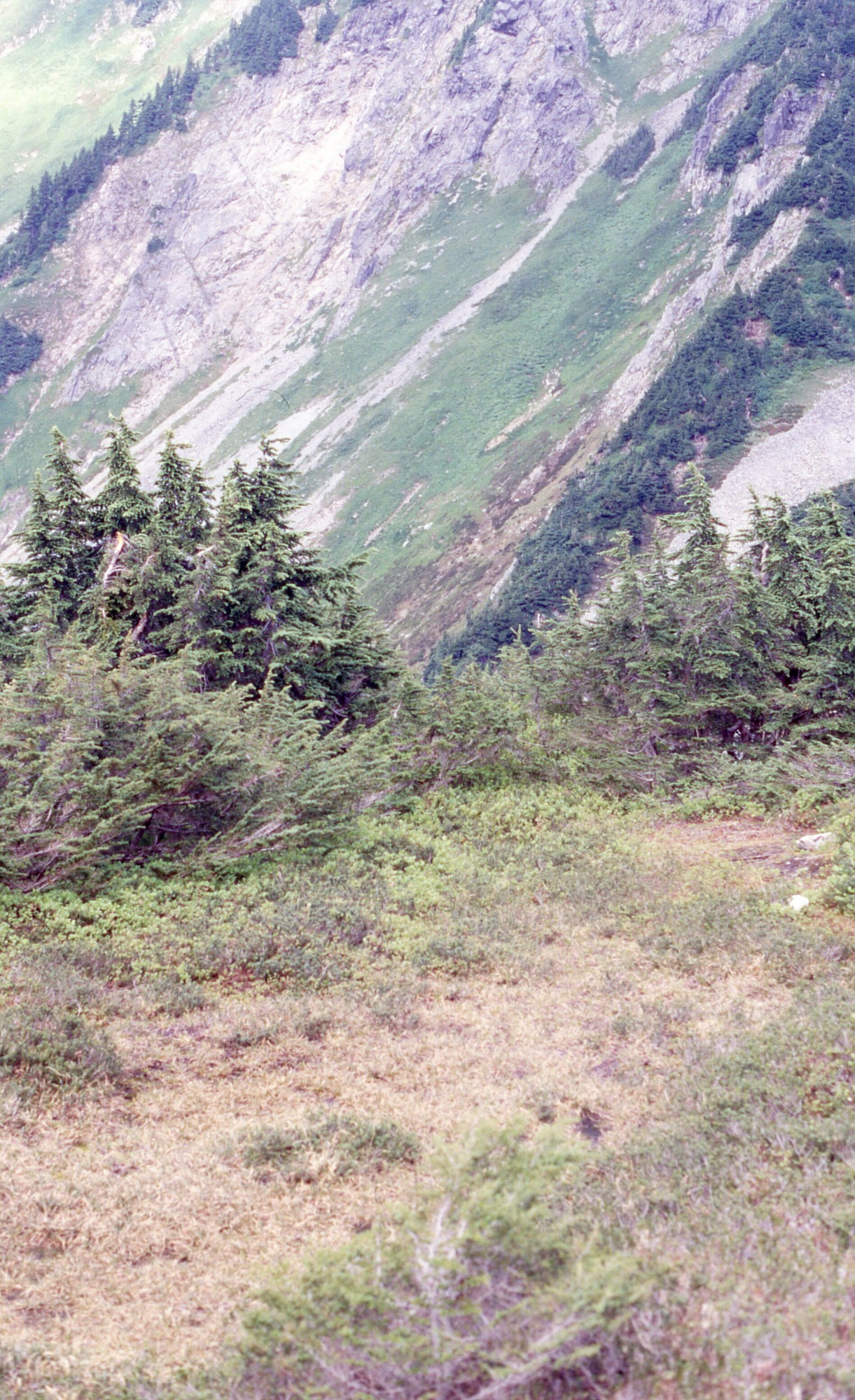
Revegetation site with unclear Thornburgh number on Cascade Pass near Mixup Arm, 08/07/2002, 2 of 4
A patchy meadow surrounded by denser shrubs and wildflowers. In the background are larger bushes and trees. In the distance are forested mountain slopes.
Cascade Pass, unknown monitoring location, revegetation monitoring photograph. Text on slide frame reads: "REV/CAS/UNK-68, Mixup Arm, Trying to locate Thornburgh camps, TH32 vicinity?, 8-7-02." (North Cascades NPS Complex Museum Collection, NOCA.0013 Revegetation Program Records, Series XI: Photographs, File 001 - Cascade Pass, Vicinity Impacts and Revegetation Sites, 1970-2004)
U.S. National Park Service
This digital asset is in the public domain. When using this asset for any purpose, including online, credit: 'Courtesy of North Cascades NPS Complex Museum Collection, Revegetation Program Records.'
NPS Photo
Public domain
Native Plant Restoration, (North Cascades Program)
, Cascade Pass, (North Cascades Locality)
, Revegetation, (North Cascades Activity)
, Cascade Pass, (North Cascades Locality)
, Revegetation, (North Cascades Activity)
Image
North Cascades National Park, Code: NOCA
North Cascades National Park, Washington
Latitude: 48.8278884887695, Longitude: -121.35050201416
Cascade Pass
Latitude: 48.8278884887695, Longitude: -121.35050201416
Cascade Pass
ICMS Archives Module : NOCA.0013.11.001
2024/02/06
08/07/2002
slide transparency
Curation Facility
Public Can View
Person: NOCA Curator
Organization: North Cascades NPS Complex
Position: Museum Curator
Address: 7280 Ranger Station Road, Marblemount, WA 98267
Email: NOCA_Curator@nps.gov.
Organization: North Cascades NPS Complex
Position: Museum Curator
Address: 7280 Ranger Station Road, Marblemount, WA 98267
Email: NOCA_Curator@nps.gov.
Thursday, January 30, 2025 5:22:48 PM
Thursday, January 30, 2025 5:22:48 PM
0013.11.001.0534.tif
tif
35.3 MB
Monitoring