Select Item below to DOWNLOAD - Once item is selected, right click and choose 'save as'
a7d9d91b-599b-4cf8-802b-0e31cdf6062f
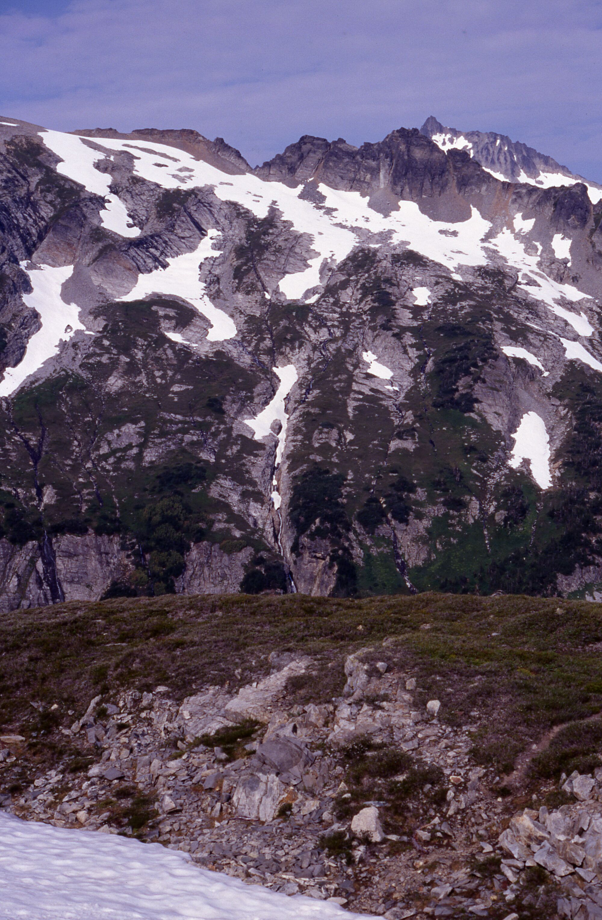
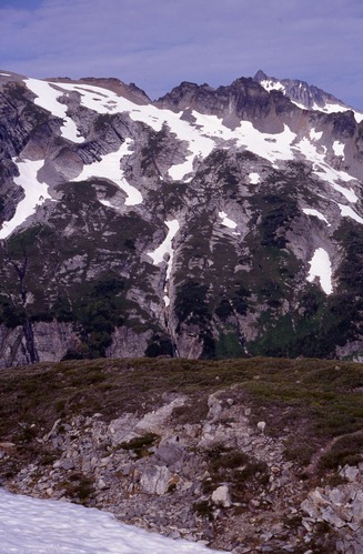
Cascade Pass impact site near TR17-19 facing mountains, 8/10/1996
A rocky hill and snow melt. In the distance are snowy mountainsides and peaks.
Cascade Pass, Sahale Arm, revegetation monitoring photograph. Text on slide frame reads: "REV/CAS/SAH/h-1, Supposed to be TR17 & TR 18 (19?), E.H., 8-10-96." (North Cascades NPS Complex Museum Collection, NOCA.0013 Revegetation Program Records, Series XI: Photographs, File 001 - Cascade Pass Vicinity Impacts and Revegetation Sites, 1970-2004)
U.S. National Park Service
This digital asset is in the public domain. When using this asset for any purpose, including online, credit: 'Courtesy of North Cascades NPS Complex Museum Collection, Revegetation Program Records.'
NPS Photo
Public domain
Native Plant Restoration, (North Cascades Program)
, Cascade Pass, (North Cascades Locality)
, Revegetation, (North Cascades Activity)
, Cascade Pass, (North Cascades Locality)
, Revegetation, (North Cascades Activity)
Image
North Cascades National Park, Code: NOCA
North Cascades National Park, Washington
Latitude: 48.8278884887695, Longitude: -121.35050201416
Cascade Pass
Latitude: 48.8278884887695, Longitude: -121.35050201416
Cascade Pass
ICMS Archives Module : NOCA.0013.11.001
2024/02/26
08/10/1996
slide transparency
Curation Facility
Public Can View
Person: NOCA Curator
Organization: North Cascades NPS Complex
Position: Museum Curator
Address: 7280 Ranger Station Road, Marblemount, WA 98267
Email: NOCA_Curator@nps.gov.
Organization: North Cascades NPS Complex
Position: Museum Curator
Address: 7280 Ranger Station Road, Marblemount, WA 98267
Email: NOCA_Curator@nps.gov.
Thursday, January 30, 2025 3:54:08 PM
Thursday, January 30, 2025 3:54:08 PM
0013.11.001.1035.tif
tif
36.7 MB
Monitoring