Select Item below to DOWNLOAD - Once item is selected, right click and choose 'save as'
a2316919-a2a1-4a33-8973-d2808d78da25
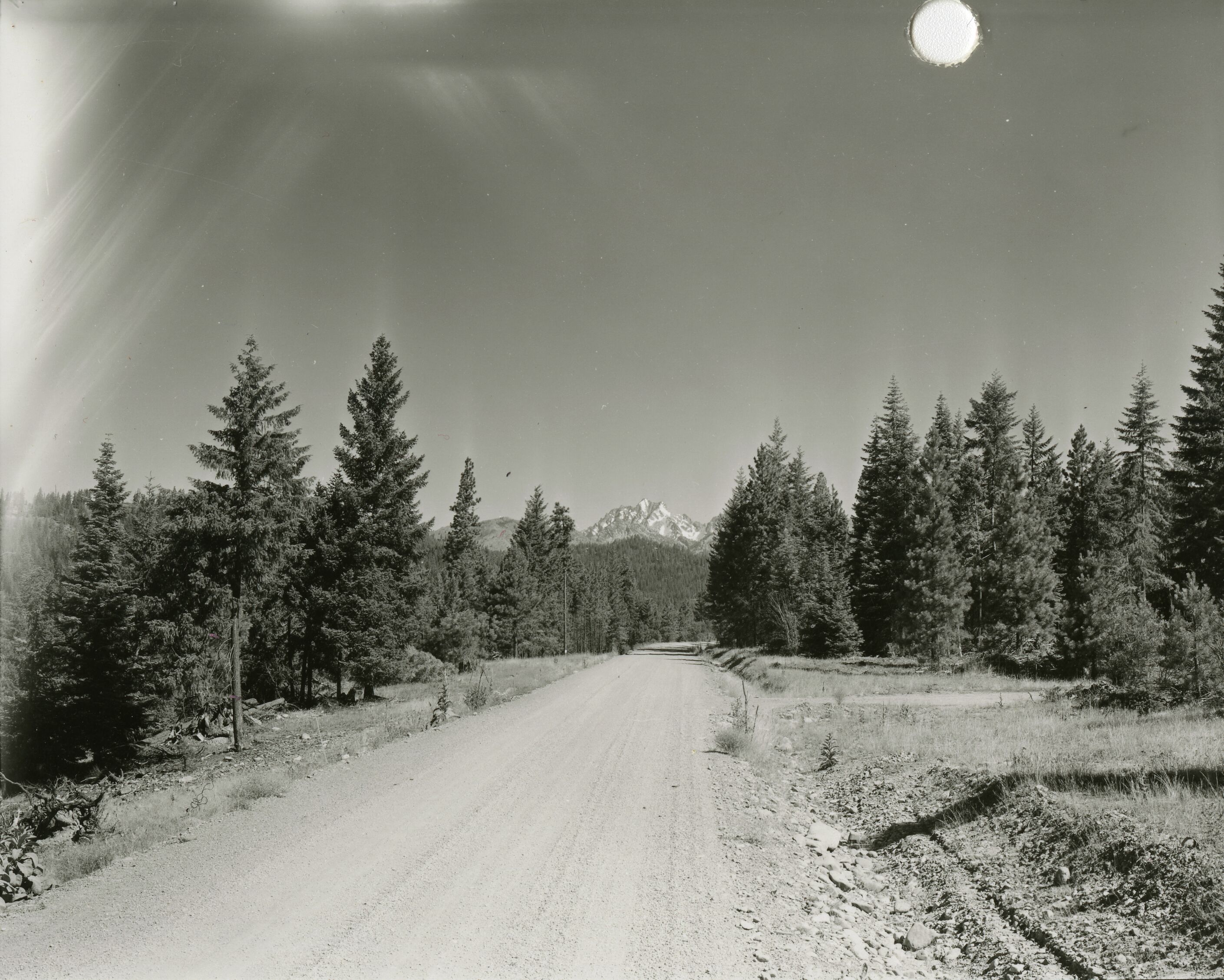
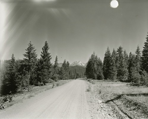
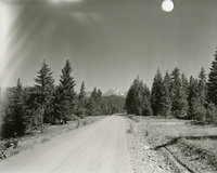
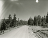
Road in Hozomeen area
A dirt road curving through a flat, wooded area.
Hozomeen area with Hidden Lake Peak in distance. (North Cascades NPS Complex Museum Collection, NOCA.0002 Assembled Collections, Series V: 1963 NPS North Cascades Survey Photographs, Subseries A: Prints and Negatives, File 242b)
U.S. National Park Service
This digital asset is in the public domain. When using this asset for any purpose, including online, credit: 'Courtesy of North Cascades NPS Complex Museum Collection, 1963 NPS North Cascades Survey Collection.'
NPS Photo
Public domain
Image
North Cascades National Park, Code: NOCA
North Cascades National Park, Washington
Latitude: 48.8278884887695, Longitude: -121.35050201416
Hidden Lake Peak
Latitude: 48.8278884887695, Longitude: -121.35050201416
Hidden Lake Peak
ICMS Archives Module : NOCA.0002.05.01
2022/05/25
01/01/1963 - 12/30/1963
B/W photographic print
Marblemount Curation Facility
Public Can View
William Woodbridge
Person: NOCA Curator
Organization: North Cascades NPS Complex
Position: Museum Curator
Address: 7280 Ranger Station Road, Marblemount, WA 98267
Email: NOCA_Curator@nps.gov.
Organization: North Cascades NPS Complex
Position: Museum Curator
Address: 7280 Ranger Station Road, Marblemount, WA 98267
Email: NOCA_Curator@nps.gov.
Monday, June 9, 2025 4:48:52 PM
Monday, June 9, 2025 4:48:52 PM
0002.05.01.242_02.tif
tif
14.4 MB
Historic
,
Inventory