Select Item below to DOWNLOAD - Once item is selected, right click and choose 'save as'
88e121d7-1d48-4d96-ac01-20a39534b81f
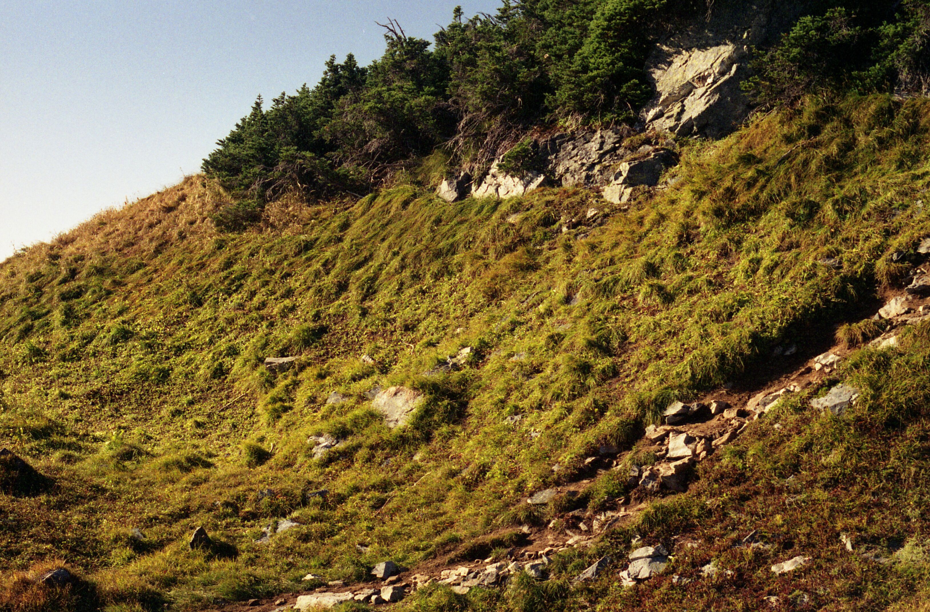
Hillside next to impacted area on Sahale Arm, 9/24/1993, 4 of 4
A hillside of grasses and rocks leading down from a forested area. On the right side of the image is a rocky trail.
Cascade Pass, Sahale Arm, revegetation monitoring photograph. Accompanying label reads "Sahale Arm, Glacier Trip, Kelly Bush, Sept. 24, 1993." (North Cascades NPS Complex Museum Collection, NOCA.0013 Revegetation Program Records, Series XI: Photographs, File 001 - Cascade Pass, Vicinity Impacts and Revegetation Sites, 1970-2004)
U.S. National Park Service
This digital asset is in the public domain. When using this asset for any purpose, including online, credit: 'Courtesy of North Cascades NPS Complex Museum Collection, Revegetation Program Records.'
NPS Photo
Public domain
Native Plant Restoration, (North Cascades Program)
, Cascade Pass, (North Cascades Locality)
, Revegetation, (North Cascades Activity)
, Cascade Pass, (North Cascades Locality)
, Revegetation, (North Cascades Activity)
Image
North Cascades National Park, Code: NOCA
North Cascades National Park, Washington
Latitude: 48.8278884887695, Longitude: -121.35050201416
Cascade Pass
Latitude: 48.8278884887695, Longitude: -121.35050201416
Cascade Pass
ICMS Archives Module : NOCA.0013.11.001
2024/02/13
09/24/1993
slide transparency
Curation Facility
Public Can View
Person: NOCA Curator
Organization: North Cascades NPS Complex
Position: Museum Curator
Address: 7280 Ranger Station Road, Marblemount, WA 98267
Email: NOCA_Curator@nps.gov.
Organization: North Cascades NPS Complex
Position: Museum Curator
Address: 7280 Ranger Station Road, Marblemount, WA 98267
Email: NOCA_Curator@nps.gov.
Thursday, January 30, 2025 4:11:05 PM
Thursday, January 30, 2025 4:11:05 PM
0013.11.001.0801.tif
tif
41.9 MB
Monitoring