Select Item below to DOWNLOAD - Once item is selected, right click and choose 'save as'
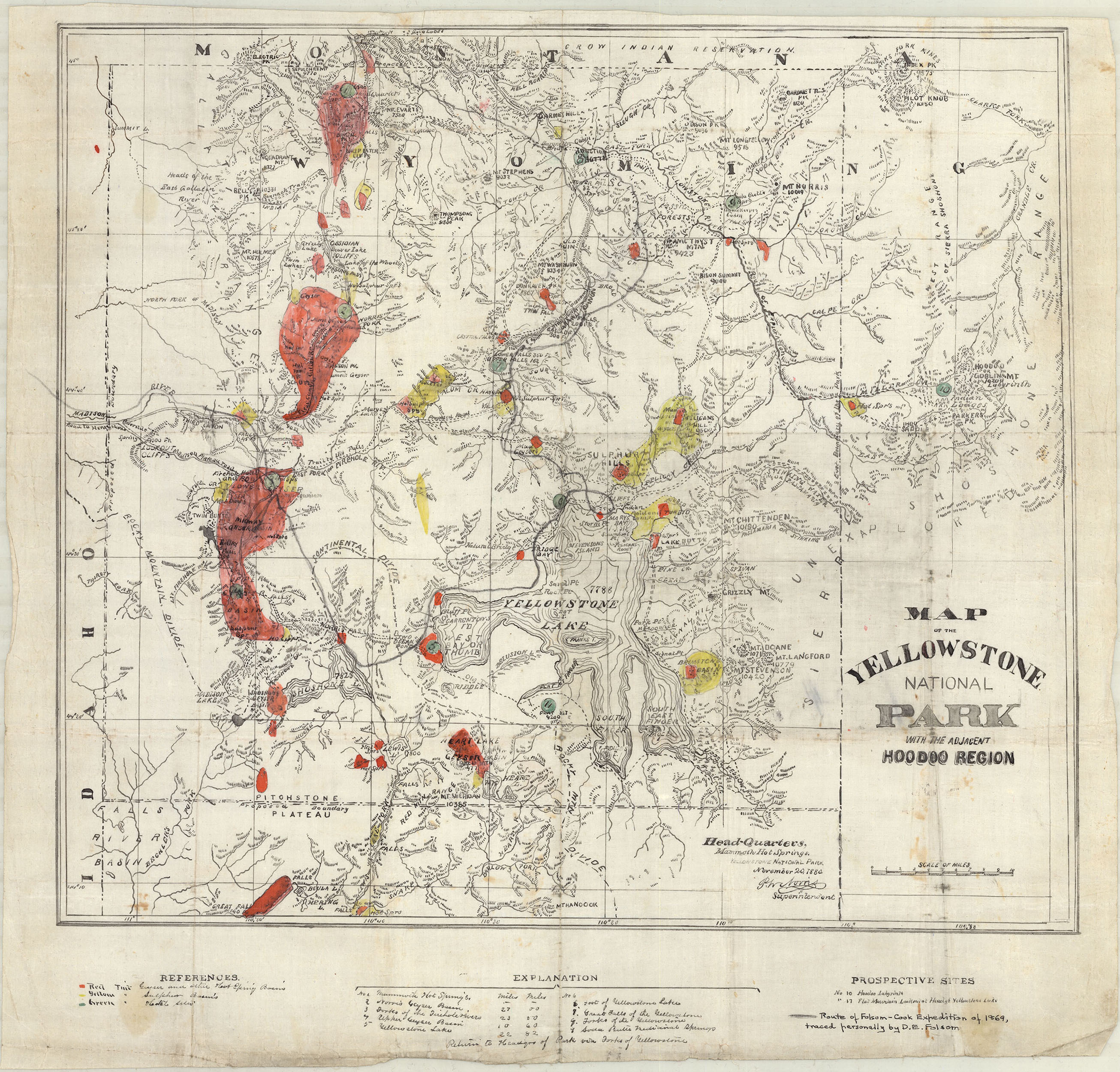
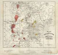
"Map of the Yellowstone National Park with the Adjacent Hoodoo Region"
Philetus W. Norris and David E. Folsom November 20, 1880
Inspired by the stories told by mountain men and trappers about Yellowstone, Montanans David E. Folsom, Charles W. Cook, and William Peterson embarked on a survey of the region in 1869. Their account inspired scientists and surveyors to further explore Yellowstone.
Red areas on this map indicate geyser basins, yellow areas sulfur basins, and green circles demarcate the expedition's stops. The map is signed by park superintendent Philetus Norris. Notation on the bottom of the map reads, "Route of Folsom-Cook Expedition of 1869, traced personally by D. E. Folsom."
Linen. H 46.2, W 48.5 cm
Yellowstone National Park, YELL 18850
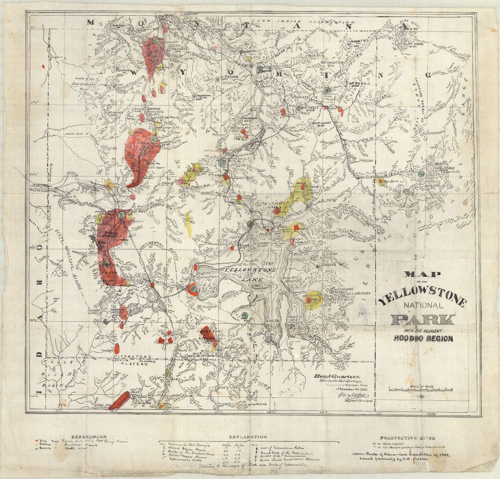