Select Item below to DOWNLOAD - Once item is selected, right click and choose 'save as'
c4bfff73-bc75-4d70-b305-27818da50760
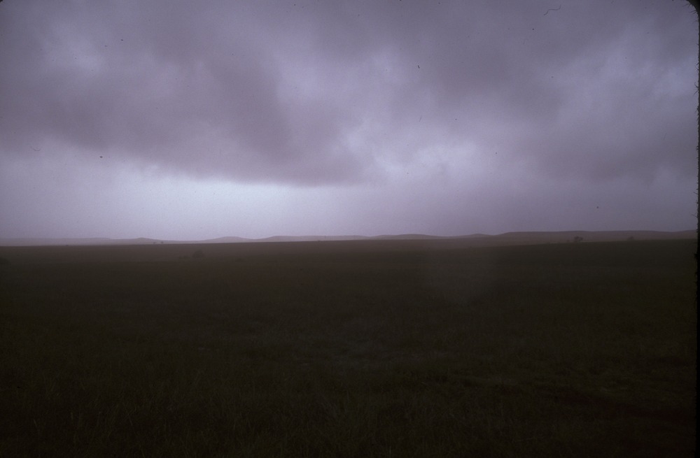
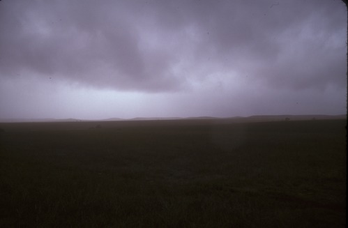
TAPR Landscape storm Tapr_Storm_LPT20021002_A
U.S. National Park Service
Contact the Heartland Inventory and Monitoring Network for more copyright information and use
Restrictions apply on use and/or reproduction
Image
Heartland Network, Code: HTLN
Tallgrass Prairie National Preserve, Code: TAPR
Tallgrass Prairie National Preserve, Code: TAPR
KS, Tallgrass Prairie National Preserve, Chase County, Kansas
Latitude: 38.4514007568359, Longitude: -96.5738983154297
Latitude: 38.4514007568359, Longitude: -96.5738983154297
2002-10-02
Public Can View
Person: Program Manager
Organization: US National Park Service
Address: Heartland Inventory and Monitoring Network, 6424 West Farm Road 182, Republic, MO 65738
Organization: US National Park Service
Address: Heartland Inventory and Monitoring Network, 6424 West Farm Road 182, Republic, MO 65738
Thursday, September 21, 2023 5:52:23 PM
Thursday, September 21, 2023 5:52:23 PM
Tapr_Storm_LPT20021002_A.tif
tif
29.4 MB
Scenic