Select Item below to DOWNLOAD - Once item is selected, right click and choose 'save as'
10acebd8-b3f7-4673-a6c2-8f25d25b6995
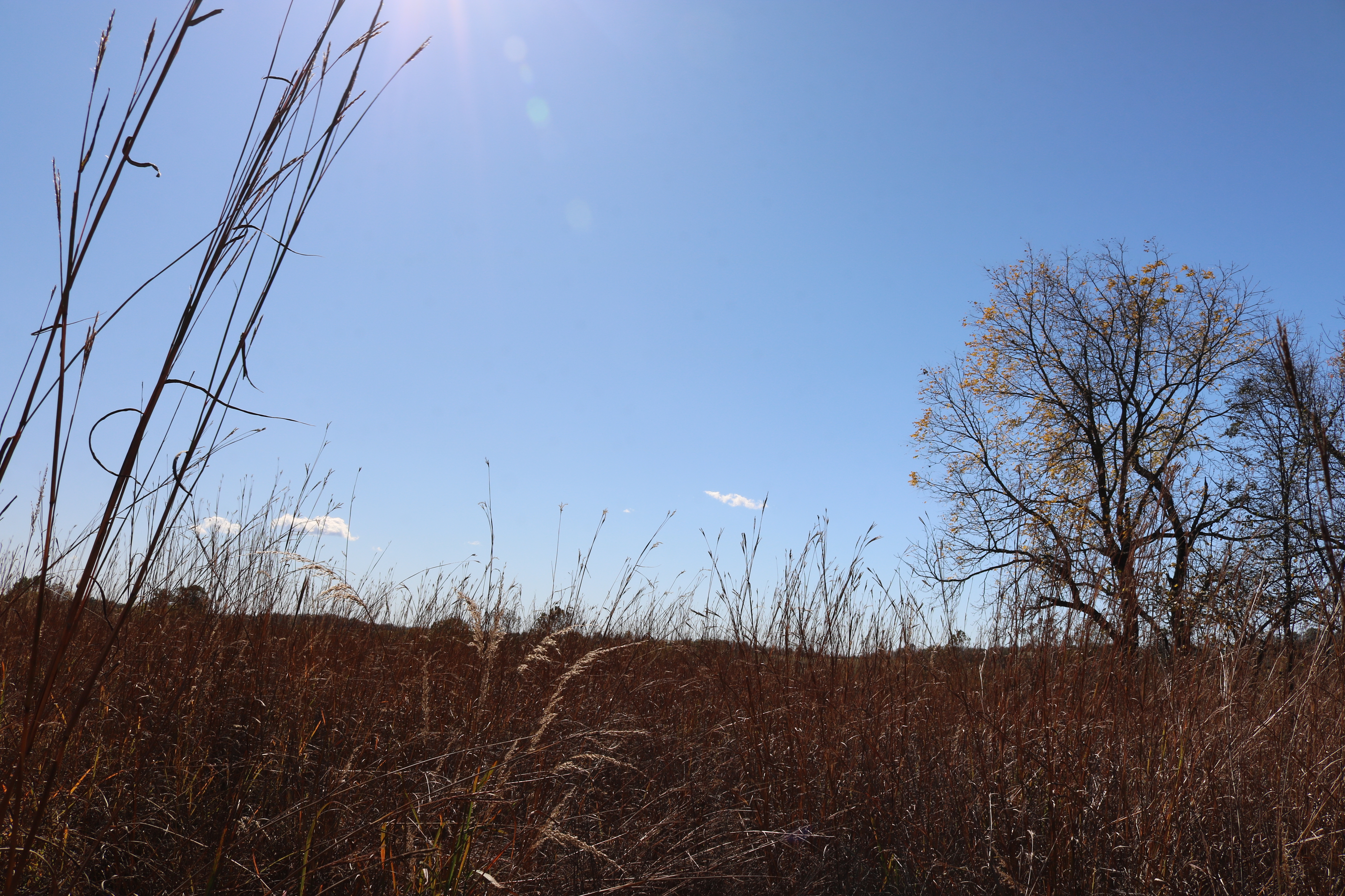
WICR Landscape IMG 3148
U.S. National Park Service
Contact the Heartland Inventory and Monitoring Network for more copyright information and use
HTLN;
Restrictions apply on use and/or reproduction
Image
Heartland Network, Code: HTLN
Wilson's Creek National Battlefield, Code: WICR
Wilson's Creek National Battlefield, Code: WICR
Wilson's Creek National Battlefield, Missouri
Latitude: 37.0998382568359, Longitude: -93.4087677001953
Latitude: 37.0998382568359, Longitude: -93.4087677001953
2017-10-24
Public Can View
Person: Program Manager
Organization: US National Park Service
Address: Heartland Inventory and Monitoring Network, 6424 West Farm Road 182, Republic, MO 65738
Organization: US National Park Service
Address: Heartland Inventory and Monitoring Network, 6424 West Farm Road 182, Republic, MO 65738
Tuesday, August 2, 2022 4:01:45 PM
Tuesday, August 2, 2022 4:01:45 PM
IMG_3148.JPG
jpg
10.6 MB
Scenic