Select Item below to DOWNLOAD - Once item is selected, right click and choose 'save as'
9bb4b528-de79-4fe8-896b-5e7820096fcc
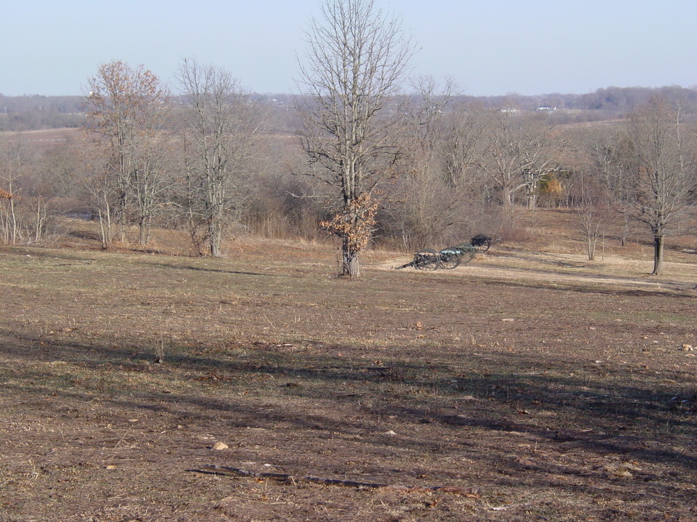
WICR Landscape HTLN2003 DSC00393
U.S. National Park Service
Contact the Heartland Inventory and Monitoring Network for more copyright information and use
Restrictions apply on use and/or reproduction
Image
Heartland Network, Code: HTLN
Wilson's Creek National Battlefield, Code: WICR
Wilson's Creek National Battlefield, Code: WICR
MO, Wilson's Creek National Battlefield, Missouri
Latitude: 37.0998382568359, Longitude: -93.4087677001953
Latitude: 37.0998382568359, Longitude: -93.4087677001953
2010-Apr-29
Public Can View
Person: Program Manager
Organization: US National Park Service
Address: Heartland Inventory and Monitoring Network, 6424 West Farm Road 182, Republic, MO 65738
Organization: US National Park Service
Address: Heartland Inventory and Monitoring Network, 6424 West Farm Road 182, Republic, MO 65738
Thursday, September 21, 2023 3:15:17 PM
Thursday, September 21, 2023 3:15:17 PM
DSC00393.JPG
jpg
1.8 MB
Scenic