Select Item below to DOWNLOAD - Once item is selected, right click and choose 'save as'
1500117b-54a9-4252-b05c-03a4ffb94b39
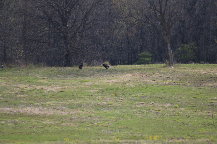
WICR Animals Birds WicrTurkey2016D
WICR sinkholes documented on 20160413
U.S. National Park Service
Contact the Heartland Inventory and Monitoring Network for more copyright information and use
HTLN;
Restrictions apply on use and/or reproduction
Image
Heartland Network, Code: HTLN
Wilson's Creek National Battlefield, Code: WICR
Wilson's Creek National Battlefield, Code: WICR
Wilson's Creek National Battlefield, Missouri
Latitude: 37.0998382568359, Longitude: -93.4087677001953
Latitude: 37.0998382568359, Longitude: -93.4087677001953
2016-04-13
Public Can View
Person: Program Manager
Organization: US National Park Service
Address: Heartland Inventory and Monitoring Network, 6424 West Farm Road 182, Republic, MO 65738
Organization: US National Park Service
Address: Heartland Inventory and Monitoring Network, 6424 West Farm Road 182, Republic, MO 65738
Friday, September 23, 2022 9:50:38 PM
Friday, September 23, 2022 9:50:38 PM
WicrTurkey2016D.JPG
jpg
9.0 MB
Scenic