Select Item below to DOWNLOAD - Once item is selected, right click and choose 'save as'
e5abcf69-cc07-4fe0-8c0b-77948158ed4d
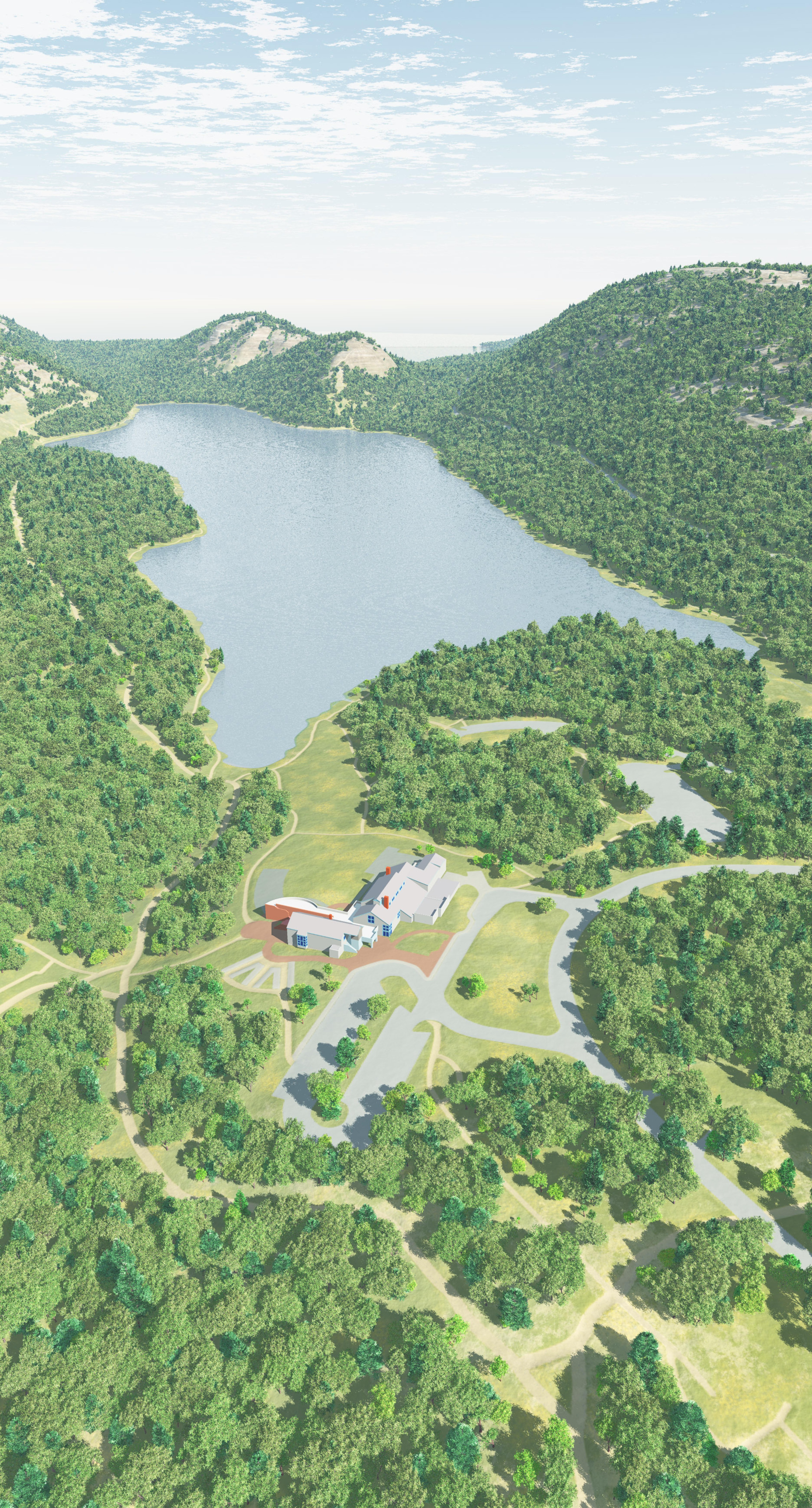
Jordan Pond 3D Map 2 - Acadia National Park
3D rendering of Jordan Pond in Acadia National Park in Maine. The blue-gray pond stretches out amid dense clusters of trees on all sides, with rounded mountains in the distance cupping it along the horizon.
Screen-viewable file; Adobe print production files can be downloaded from the Compressed zip Version link
Map Projection: 3D; Map Type: other
U.S. National Park Service
The National Park Service maps are government produced and are in the public domain. Anyone may, without restriction under U.S. copyright laws: Reproduce the work in print or digital form; Create derivative works; Perform the work publicly; Display the work; Distribute copies or digitally transfer the work to the public by sale or other transfer of ownership, or by rental, lease, or lending. Please note, a user who modifies and/or republishes National Park Service maps are responsible for any problems encountered with the maps, due to their change or modification.
Public domain
Document
Acadia National Park, Code: ACAD
Acadia National Park, Maine
Latitude: 44.3593788146973, Longitude: -68.2397308349609
Latitude: 44.3593788146973, Longitude: -68.2397308349609
2018-06-21
Public Can View
Person: Harpers Ferry Center
Organization: US National Park Service
Address: Harpers Ferry Center, Harpers Ferry, WV
Email: HFC_Cartography@nps.gov
Organization: US National Park Service
Address: Harpers Ferry Center, Harpers Ferry, WV
Email: HFC_Cartography@nps.gov
Friday, April 22, 2022 5:32:07 PM
Friday, September 26, 2025 11:33:50 PM
ACADmap6.pdf
pdf
25.2 MB
Map