Select Item below to DOWNLOAD - Once item is selected, right click and choose 'save as'
b210a971c107408c9658a57c79398b8b
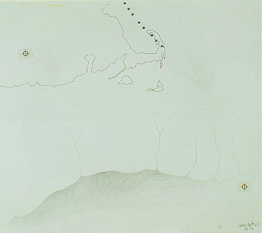
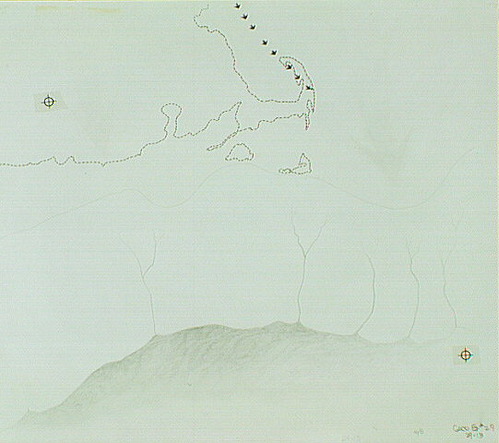
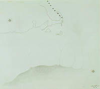
Geologic diagram showing the direction and size of the ice sheet that covered Cape Cod.
Geologic diagram showing the direction and size of the ice sheet that covered Cape Cod.
Abbr=WE
U.S. National Park Service
Reflective Art
Government owns art and all reproduction rights.
Public domain
Image
Cape Cod National Seashore, Code: CACO
Cape Cod National Seashore, Barnstable County, Massachusetts
Latitude: 41.959098815918, Longitude: -70.0053024291992
Latitude: 41.959098815918, Longitude: -70.0053024291992
Image Management System : IMS 00907
20190904
01/01/1983 - 12/30/1983
Image_Size=W: 16 11/16" x H: 15 1/8"; Metric_Size=W: 40.61CM X H: 38.07CM; Exhibit 29/Graphic # 29-13
C2
Public Can View
Organization: Harpers Ferry Center
Address: Harpers Ferry Center, 67 Mather Place, Harpers Ferry, WV, 25425, 304-535-5050
Address: Harpers Ferry Center, 67 Mather Place, Harpers Ferry, WV, 25425, 304-535-5050
Monday, October 7, 2019 3:07:44 PM
Monday, October 7, 2019 3:07:44 PM
00907.JPG
jpg
41.6 kB
Museum