Select Item below to DOWNLOAD - Once item is selected, right click and choose 'save as'
51c3b868-5dcf-4807-a0ee-c4a3f9c67465
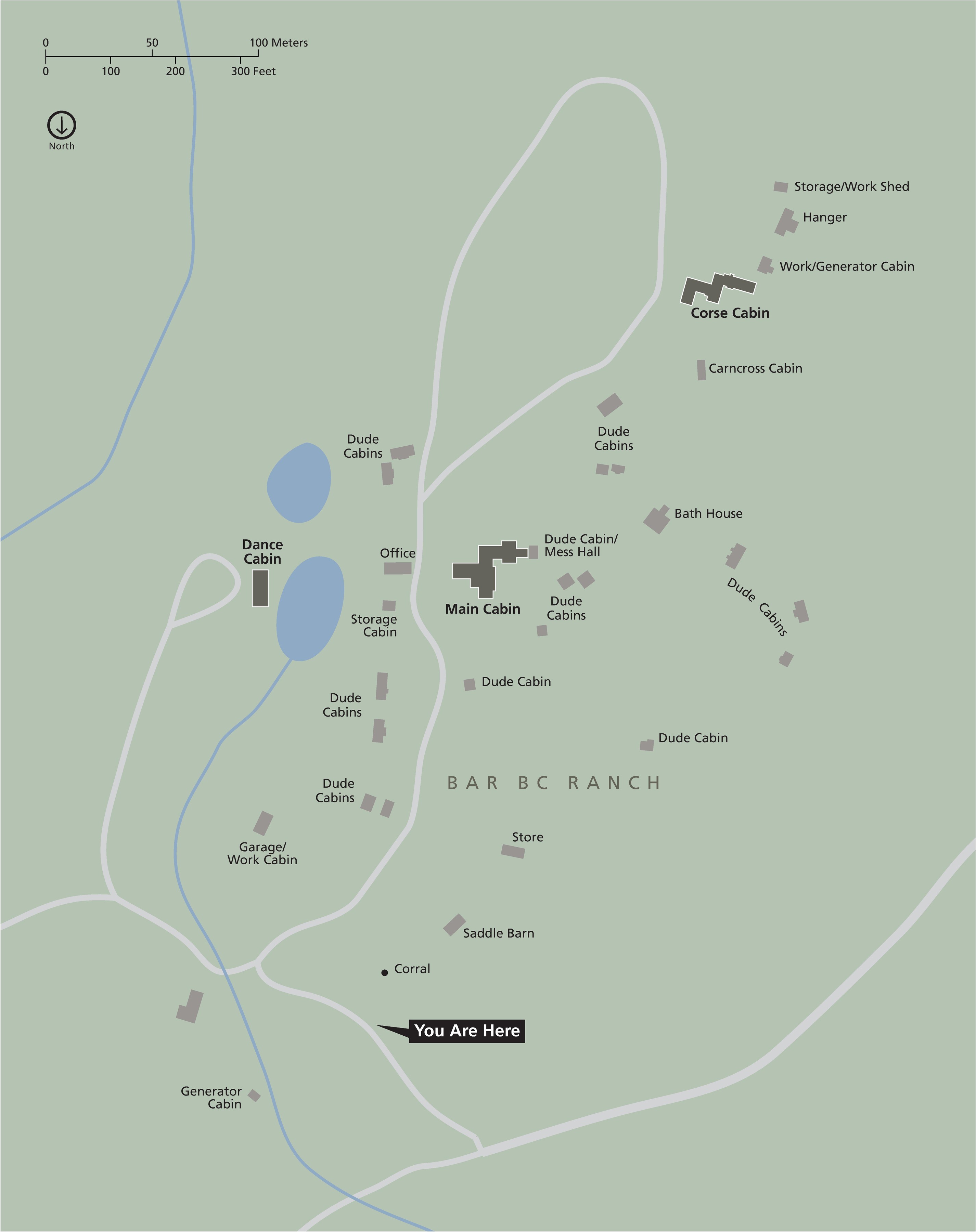
Bar BC Ranch Map - Grand Teton National Park
Map of the Bar BC Ranch in Grand Teton National Park in Wyoming. The land is shown in green and lakes and waterways are blue. Roads are light gray, and structures or dark gray.
Screen-viewable file; Adobe print production files can be downloaded from the Compressed zip Version link
Map Projection: UTM; Map Type: detail
U.S. National Park Service
The National Park Service maps are government produced and are in the public domain. Anyone may, without restriction under U.S. copyright laws: Reproduce the work in print or digital form; Create derivative works; Perform the work publicly; Display the work; Distribute copies or digitally transfer the work to the public by sale or other transfer of ownership, or by rental, lease, or lending. Please note, a user who modifies and/or republishes National Park Service maps are responsible for any problems encountered with the maps, due to their change or modification.
Public domain
Document
Grand Teton National Park, Code: GRTE
Grand Teton National Park, Teton County, Wyoming
Latitude: 43.8181991577148, Longitude: -110.705001831055
Latitude: 43.8181991577148, Longitude: -110.705001831055
2018-06-25
Public Can View
Person: Harpers Ferry Center
Organization: US National Park Service
Address: Harpers Ferry Center, Harpers Ferry, WV
Email: HFC_Cartography@nps.gov
Organization: US National Park Service
Address: Harpers Ferry Center, Harpers Ferry, WV
Email: HFC_Cartography@nps.gov
Tuesday, April 26, 2022 5:46:14 PM
Friday, September 26, 2025 11:35:38 PM
GRTEmap7.pdf
pdf
307.6 kB
Map