Select Item below to DOWNLOAD - Once item is selected, right click and choose 'save as'
2652633758bf4ba78c198898c14c9566
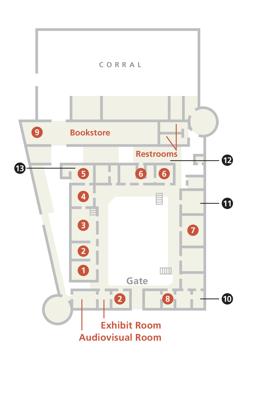
Floor Plan - Bent's Old Fort National Historic Site
Floor Plan of Bent's Old Fort National Historic Site in Colorado. The diagram is a bird’s eye view of a rectangular network of rooms, most of which contain a number between 1 and 12.
Screen-viewable file; Adobe print production files can be downloaded from the Compressed zip Version link
Map Projection: Other; Map Type: unassigned
U.S. National Park Service
The National Park Service maps are government produced and are in the public domain. Anyone may, without restriction under U.S. copyright laws: Reproduce the work in print or digital form; Create derivative works; Perform the work publicly; Display the work; Distribute copies or digitally transfer the work to the public by sale or other transfer of ownership, or by rental, lease, or lending. Please note, a user who modifies and/or republishes National Park Service maps are responsible for any problems encountered with the maps, due to their change or modification.
Public domain
Document
Bent's Old Fort National Historic Site, Code: BEOL
Bent's Old Fort National Historic Site, Otero County, Colorado
Latitude: 38.0397987365723, Longitude: -103.427001953125
Latitude: 38.0397987365723, Longitude: -103.427001953125
2013-05-08
Public Can View
Person: Harpers Ferry Center
Organization: US National Park Service
Address: Harpers Ferry Center, Harpers Ferry, WV
Email: HFC_Cartography@nps.gov
Organization: US National Park Service
Address: Harpers Ferry Center, Harpers Ferry, WV
Email: HFC_Cartography@nps.gov
Friday, April 22, 2022 8:55:04 PM
Friday, September 26, 2025 11:34:04 PM
BEOLmap3.pdf
pdf
606.7 kB
Map