Select Item below to DOWNLOAD - Once item is selected, right click and choose 'save as'
ce4983a2-76ed-440f-8f36-01191b6cf8b4
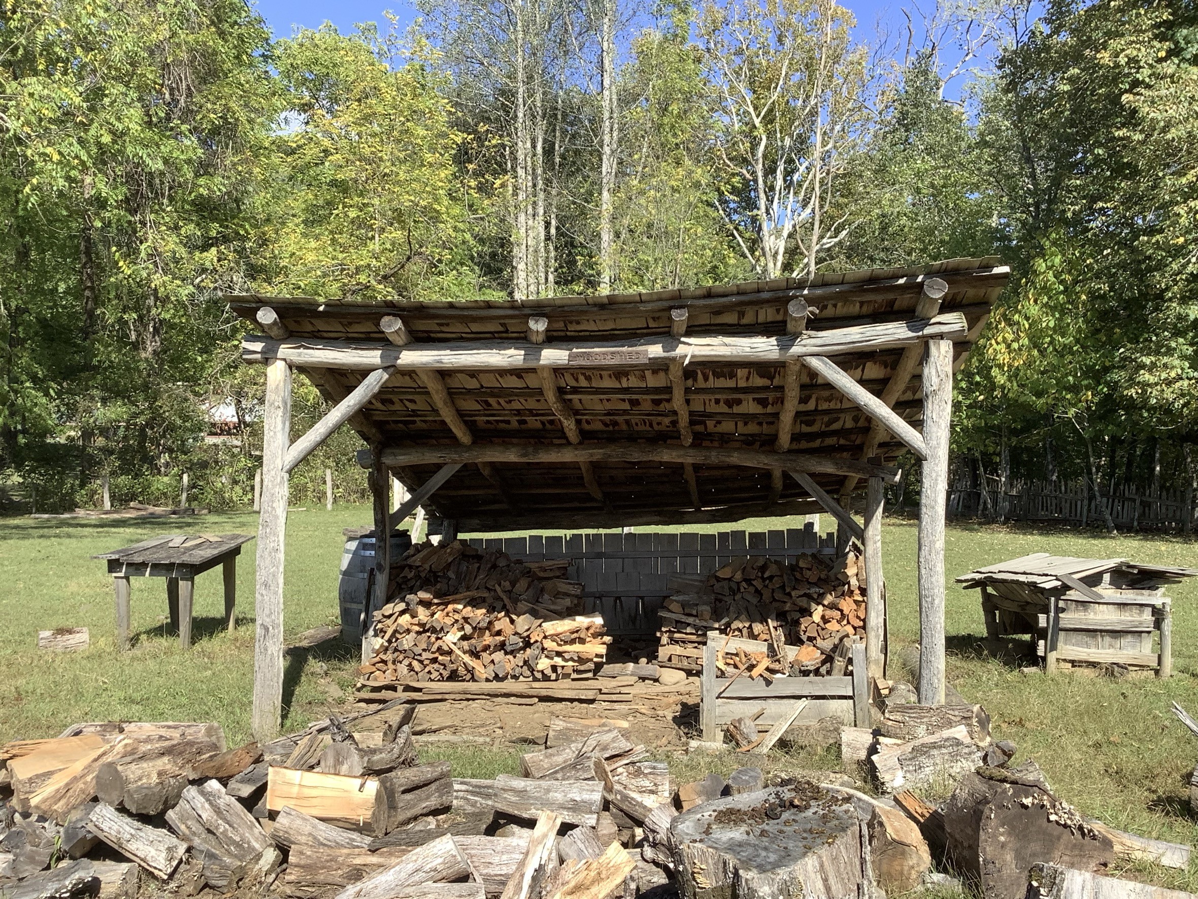
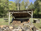
Joe Queen Woodshed (East Elevation)
Image of Joe Queen Woodshed (East Elevation)
U.S. National Park Service
This digital asset is in the public domain. When using this asset for any purpose, including online, credit: 'Courtesy U.S. National Parks'
NPS / Mary-Ella Lee
Public domain
History, (NPS History Collection Theme)
Image
Great Smoky Mountains National Park, Code: GRSM
Oconoluftee Mountain Farm
Latitude: 35.51286, Longitude: -83.305066
Great Smoky Mountains National Park
Latitude: 35.5715599060059, Longitude: -83.528190612793
Latitude: 35.51286, Longitude: -83.305066
Great Smoky Mountains National Park
Latitude: 35.5715599060059, Longitude: -83.528190612793
2024/10/03
Public Can View
Organization: Great Smoky Mountains NP
Role: GIS Program Manager
Position: GIS Program Manager
Address: Gatlinburg, TN 37738
Email: GRSM_GIS@nps.gov
Role: GIS Program Manager
Position: GIS Program Manager
Address: Gatlinburg, TN 37738
Email: GRSM_GIS@nps.gov
Wednesday, November 13, 2024 2:48:15 PM
Thursday, September 18, 2025 3:23:56 PM
GRSM_CRIS_HS_0090266(E).jpeg
jpeg
1.9 MB
Historic