Select Item below to DOWNLOAD - Once item is selected, right click and choose 'save as'
e63ad3e105034648a7a4eb8ba33c3dfd
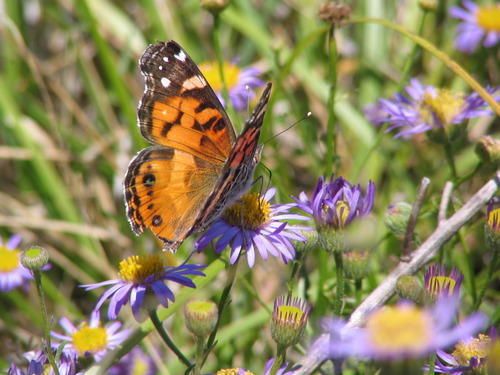
Erigeron sp. Black Mnt, Cherry Watershed. SRI (1)
Erigeron sp. Black Mnt, Cherry Watershed. SRI (1)
U. S. National Park Service
Permission must be secured from the individual copyright owners to reproduce any copyrighted materials contained within this website. Digital assets without any copyright restrictions are public domain.
NPS/Katie Chess
Public domain:Full Granting Rights:NPS Only
Image
Channel Islands National Park, Code: CHIS
Channel Islands National Park, California
Latitude: 34.0039100646973, Longitude: -119.725196838379
Latitude: 34.0039100646973, Longitude: -119.725196838379
5/19/2009 12:00:00 AM
05/19/2009
Extracted from: Final Cut Server database
Public Can View
Person: Program Manager
Organization: Channel Islands National Park
Address: 1901 Spinnaker Drive, Ventura CA 93001
Organization: Channel Islands National Park
Address: 1901 Spinnaker Drive, Ventura CA 93001
Tuesday, June 30, 2020 4:12:56 PM
Tuesday, June 30, 2020 4:12:56 PM
Erigeron sp. Black Mnt, Cherry Watershed. SRI (1).JPG
jpg
869.8 kB
Scenic