Select Item below to DOWNLOAD - Once item is selected, right click and choose 'save as'
a620f8a79a6846f488cc806d25b5fc80
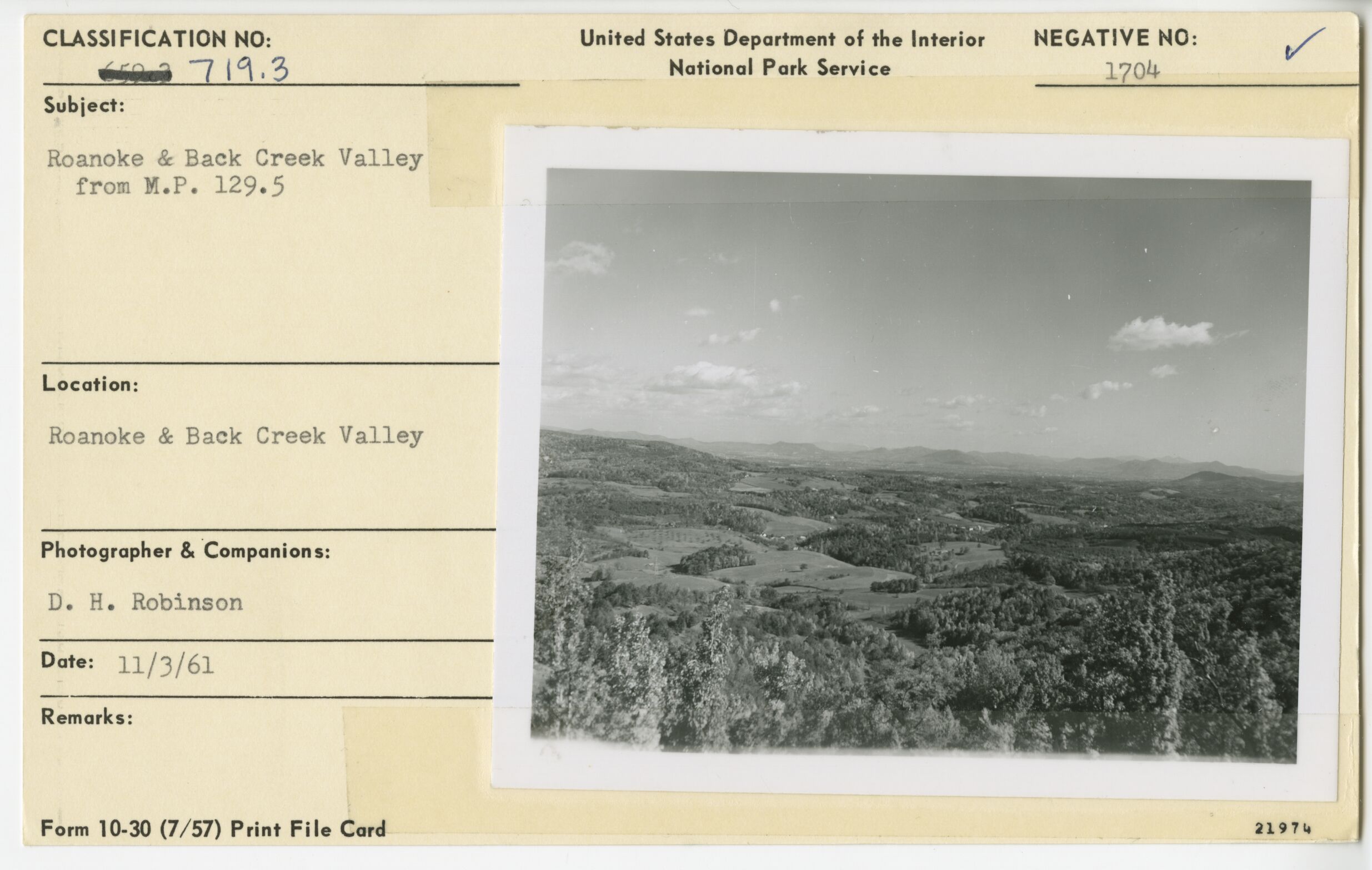
Roanoke and Back creek Valley from Poages Mill Parking Overlook
Roanoke and Back creek Valley from Poages Mill Parking Overlook
Poages Mill Parking Overlook, Milepost 129.3
U.S. National Park Service
Permission must be secured from the individual copyright owners to reproduce any copyrighted materials contained within this website.
Donald H. Robinson
Public domain
Image
Blue Ridge Parkway, Code: BLRI
Milepost 129, Blue Ridge Parkway
Blue Ridge Parkway
Latitude: 36.4365005493164, Longitude: -81.070556640625
Blue Ridge Parkway
Latitude: 36.4365005493164, Longitude: -81.070556640625
November 3, 1961
11/03/1961
Public Can View
Organization: US National Park Service
Role: Museum Curator
Address: Blue Ridge Parkway Headquarters
Email: blri_info@nps.gov
Role: Museum Curator
Address: Blue Ridge Parkway Headquarters
Email: blri_info@nps.gov
Thursday, January 9, 2020 4:47:35 PM
Thursday, January 9, 2020 4:47:35 PM
0003_mp0129.tif
tif
11.6 MB
Scenic
,
Historic