Select Item below to DOWNLOAD - Once item is selected, right click and choose 'save as'
8ff331e1145e4bff90ca488c41b9ed03
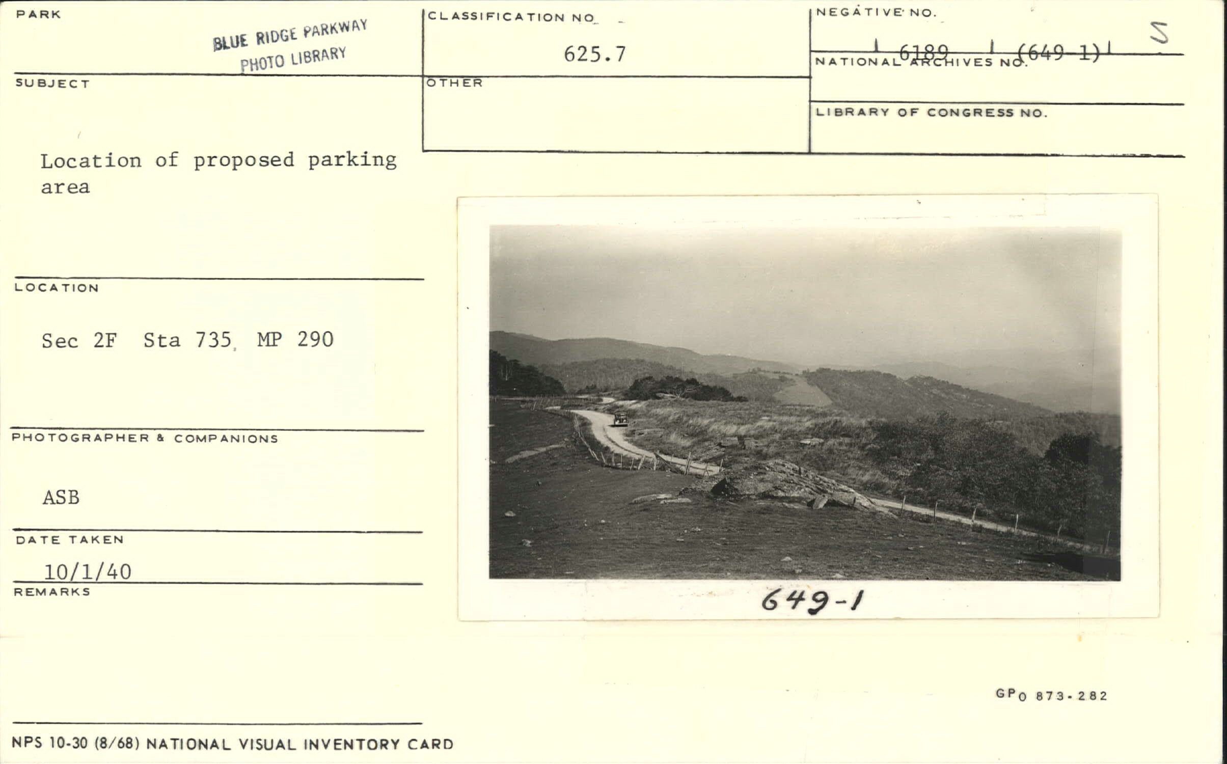
Location of proposed Thunder Hill Parking Area
Location of proposed Thunder Hill Parking Area
Section 2-F, Station 735, Milepost 290
U.S. National Park Service
Permission must be secured from the individual copyright owners to reproduce any copyrighted materials contained within this website.
Albert S. Burns
Public domain
Image
Blue Ridge Parkway, Code: BLRI
Milepost 290, Blue Ridge Parkway
Blue Ridge Parkway
Latitude: 36.4365005493164, Longitude: -81.070556640625
Blue Ridge Parkway
Latitude: 36.4365005493164, Longitude: -81.070556640625
October 1, 1940
10/01/1940
Public Can View
Organization: US National Park Service
Role: Museum Curator
Address: Blue Ridge Parkway Headquarters
Email: blri_info@nps.gov
Role: Museum Curator
Address: Blue Ridge Parkway Headquarters
Email: blri_info@nps.gov
Friday, February 7, 2020 9:05:48 AM
Friday, February 7, 2020 9:05:48 AM
0014_MP290_1.tif
tif
10.8 MB
Scenic
,
Historic