Select Item below to DOWNLOAD - Once item is selected, right click and choose 'save as'
2eb6296b79024df4bd8f71e6ff162b36
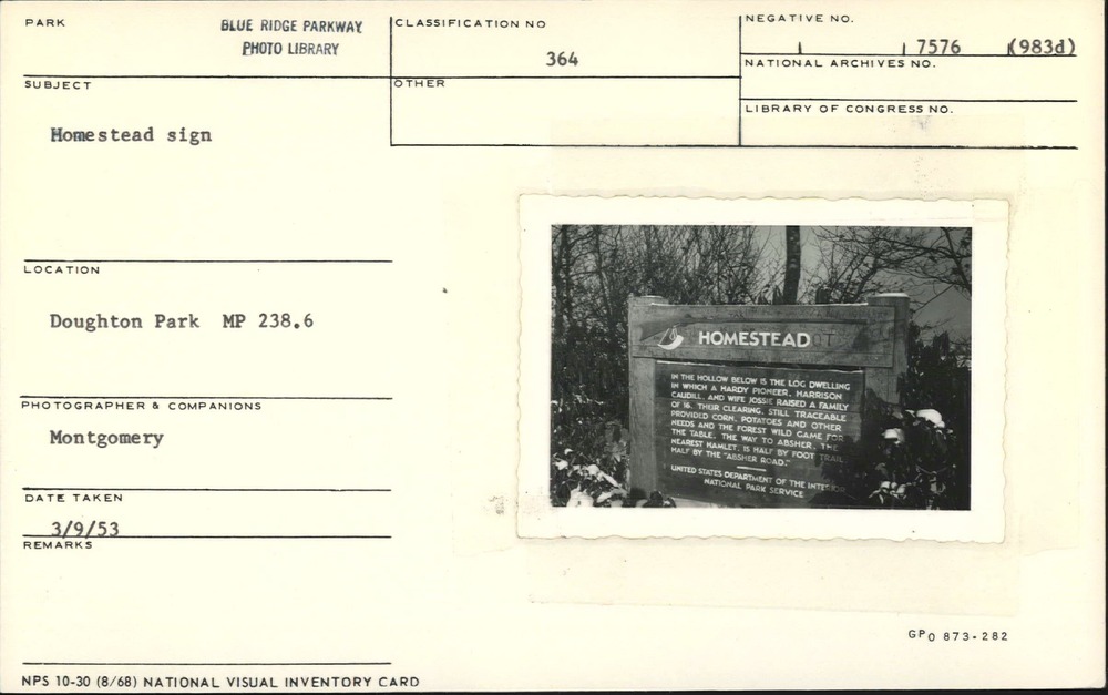
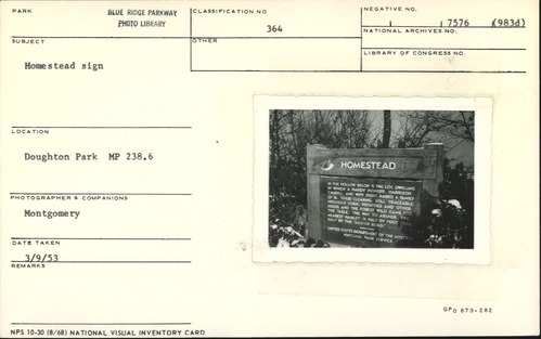
Homestead interpretive sign
Homestead interpretive sign
Wildcat Rocks, Milepost 241.1, Blue Ridge Parkway
U.S. National Park Service
Permission must be secured from the individual copyright owners to reproduce any copyrighted materials contained within this website.
Montgomery
Public domain
Image
Blue Ridge Parkway, Code: BLRI
Milepost 241, Blue Ridge Parkway
Blue Ridge Parkway
Latitude: 36.4365005493164, Longitude: -81.070556640625
Blue Ridge Parkway
Latitude: 36.4365005493164, Longitude: -81.070556640625
March 9, 1953
03/09/1953
Public Can View
Organization: US National Park Service
Role: Museum Curator
Address: Blue Ridge Parkway Headquarters
Email: blri_info@nps.gov
Role: Museum Curator
Address: Blue Ridge Parkway Headquarters
Email: blri_info@nps.gov
Thursday, February 13, 2020 10:25:56 AM
Thursday, February 13, 2020 10:25:56 AM
0138_MP238_1.tif
tif
10.9 MB
Scenic
,
Historic