Select Item below to DOWNLOAD - Once item is selected, right click and choose 'save as'
bfb3a36d02fc4192a68c982788bd97a4
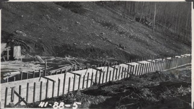
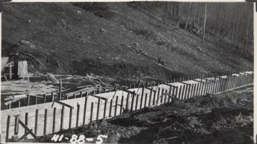
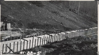
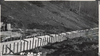
Forms for box culvert, Station 115+75
Forms for box culvert, Station 115+75
Photographs from the Blue Ridge Parkway Final Construction Report, Project 1-G-1, August 4, 1943
U.S. National Park Service
Permission must be secured from the individual copyright owners to reproduce any copyrighted materials contained within this website.
Unknown
Public domain
Image
Blue Ridge Parkway, Code: BLRI
Section 1-G, Milepost 50.1-63.7, Blue Ridge Parkway
Blue Ridge Parkway
Latitude: 36.4365005493164, Longitude: -81.070556640625
Blue Ridge Parkway
Latitude: 36.4365005493164, Longitude: -81.070556640625
circa 1940s
Public Can View
Organization: US National Park Service
Role: Museum Curator
Address: Blue Ridge Parkway Headquarters
Email: blri_info@nps.gov
Role: Museum Curator
Address: Blue Ridge Parkway Headquarters
Email: blri_info@nps.gov
Sunday, March 22, 2020 9:51:22 AM
Sunday, March 22, 2020 9:51:22 AM
BLRI_FinalConstrRpt_1G105.tif
tif
700.4 kB
Scenic
,
Historic