Select Item below to DOWNLOAD - Once item is selected, right click and choose 'save as'
9debec4b0b934ef6bf2978af1dbe4787
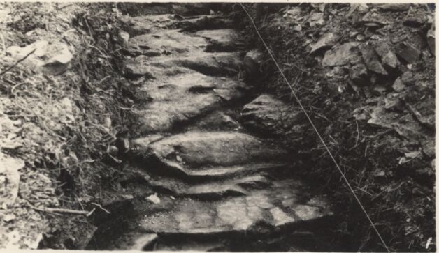
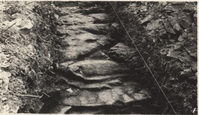
Excavation and foundation for retaining wall at Station 357+00 to Station 359+00
Excavation and foundation for retaining wall at Station 357+00 to Station 359+00
Photographs from the Blue Ridge Parkway Final Construction Report, Project 1-D-1, January 14, 1942
U.S. National Park Service
Permission must be secured from the individual copyright owners to reproduce any copyrighted materials contained within this website.
Unknown
Public domain
Roadway, (Blue Ridge Parkway Construction Project)
Image
Blue Ridge Parkway, Code: BLRI
Section 1-D, Milepost 15.4-27.2, Blue Ridge Parkway
Blue Ridge Parkway
Latitude: 36.4365005493164, Longitude: -81.070556640625
Blue Ridge Parkway
Latitude: 36.4365005493164, Longitude: -81.070556640625
circa 1940s
Public Can View
Organization: US National Park Service
Role: Museum Curator
Address: Blue Ridge Parkway Headquarters
Email: blri_info@nps.gov
Role: Museum Curator
Address: Blue Ridge Parkway Headquarters
Email: blri_info@nps.gov
Sunday, March 22, 2020 10:07:10 AM
Sunday, March 22, 2020 10:07:10 AM
BLRI_FinalConstrRpt_1-D115.tif
tif
684.9 kB
Scenic
,
Historic