Select Item below to DOWNLOAD - Once item is selected, right click and choose 'save as'
2a4d91db30ed416d84125c793abdf931
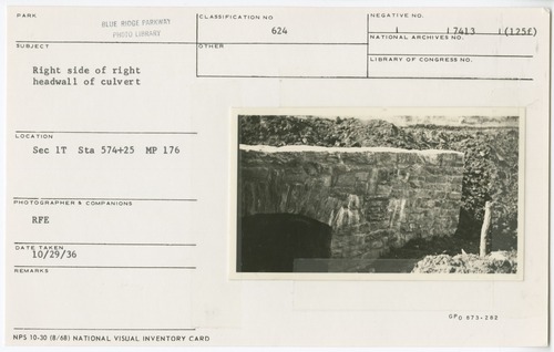
Right side of right headwall of culvert
Right side of right headwall of culvert
Section 1-T, Station 574+25, Milepost 176
U.S. National Park Service
Permission must be secured from the individual copyright owners to reproduce any copyrighted materials contained within this website.
RFE
Public domain
Stone Work, (Blue Ridge Parkway Construction Project)
, Culvert, (Blue Ridge Parkway Construction Project)
, Culvert, (Blue Ridge Parkway Construction Project)
Image
Blue Ridge Parkway, Code: BLRI
Milepost 176, Blue Ridge Parkway
Blue Ridge Parkway
Latitude: 36.4365005493164, Longitude: -81.070556640625
Blue Ridge Parkway
Latitude: 36.4365005493164, Longitude: -81.070556640625
October 29, 1936
10/29/1936
Public Can View
Organization: US National Park Service
Role: Museum Curator
Address: Blue Ridge Parkway Headquarters
Email: blri_info@nps.gov
Role: Museum Curator
Address: Blue Ridge Parkway Headquarters
Email: blri_info@nps.gov
Wednesday, January 22, 2020 8:59:34 AM
Wednesday, January 22, 2020 8:59:34 AM
0172_mp0177.tif
tif
11.4 MB
Scenic
,
Historic