Select Item below to DOWNLOAD - Once item is selected, right click and choose 'save as'
0523c499161d47878ddd9593d83a63ee
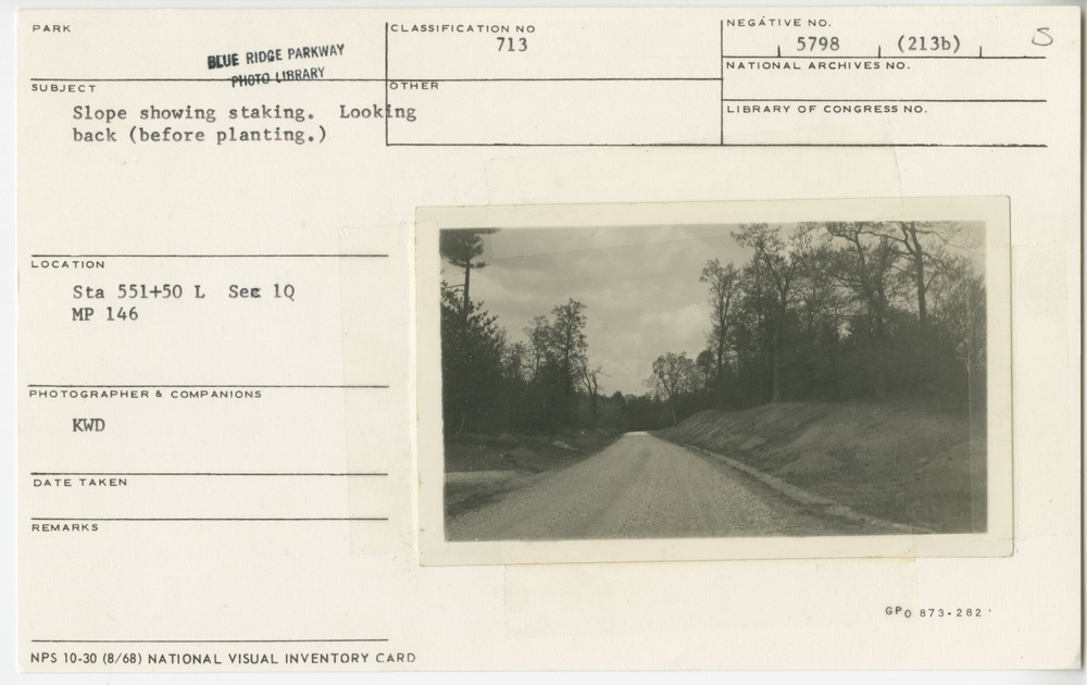
Slope showing staking before planting
Slope showing staking before planting
Station 551+50 left, Section 1-Q, Milepost 146
U.S. National Park Service
Permission must be secured from the individual copyright owners to reproduce any copyrighted materials contained within this website.
KWD
Public domain
Image
Blue Ridge Parkway, Code: BLRI
Milepost 146, Blue Ridge Parkway
Blue Ridge Parkway
Latitude: 36.4365005493164, Longitude: -81.070556640625
Blue Ridge Parkway
Latitude: 36.4365005493164, Longitude: -81.070556640625
1930s
01/01/1930 - 12/30/1939
Public Can View
Organization: US National Park Service
Role: Museum Curator
Address: Blue Ridge Parkway Headquarters
Email: blri_info@nps.gov
Role: Museum Curator
Address: Blue Ridge Parkway Headquarters
Email: blri_info@nps.gov
Thursday, January 9, 2020 4:12:12 PM
Thursday, January 9, 2020 4:12:12 PM
0010_mp0146.tif
tif
11.4 MB
Scenic
,
Historic