Select Item below to DOWNLOAD - Once item is selected, right click and choose 'save as'
d68ab7bf82784dcfb5cc69d67c2d684d
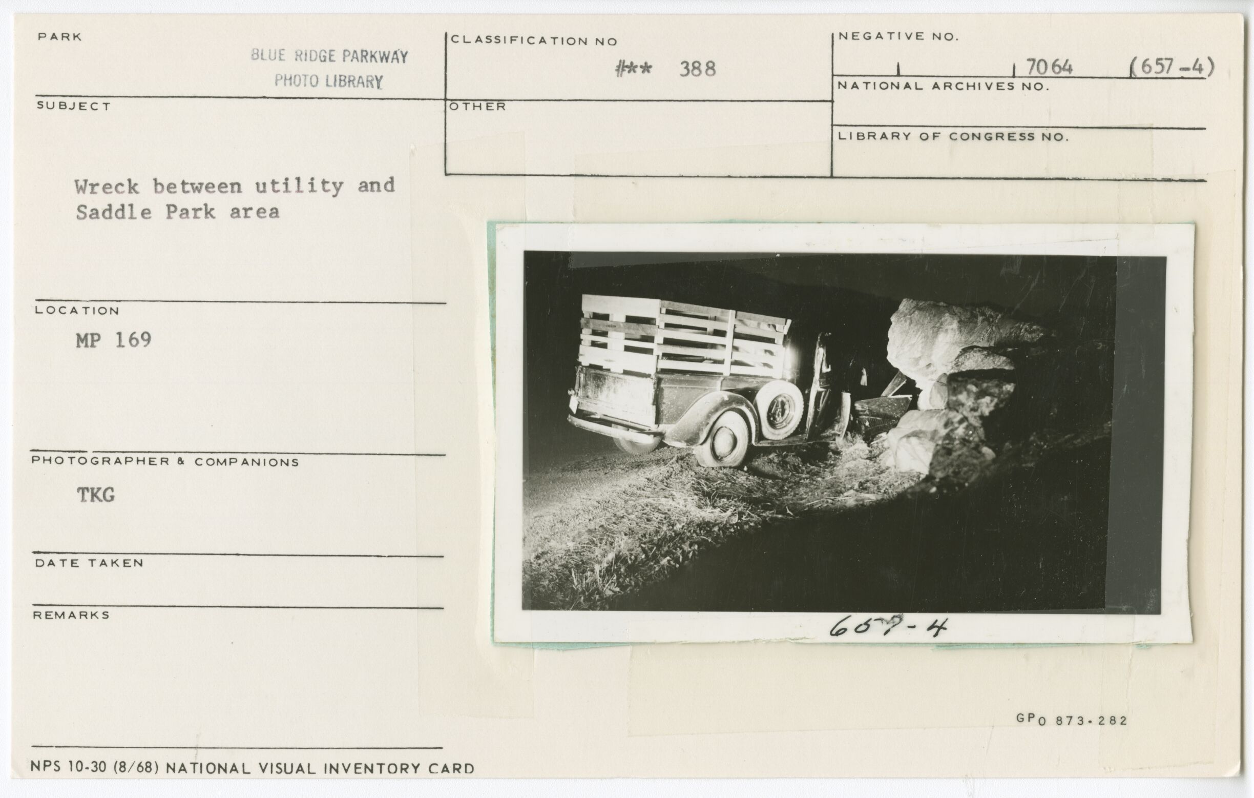
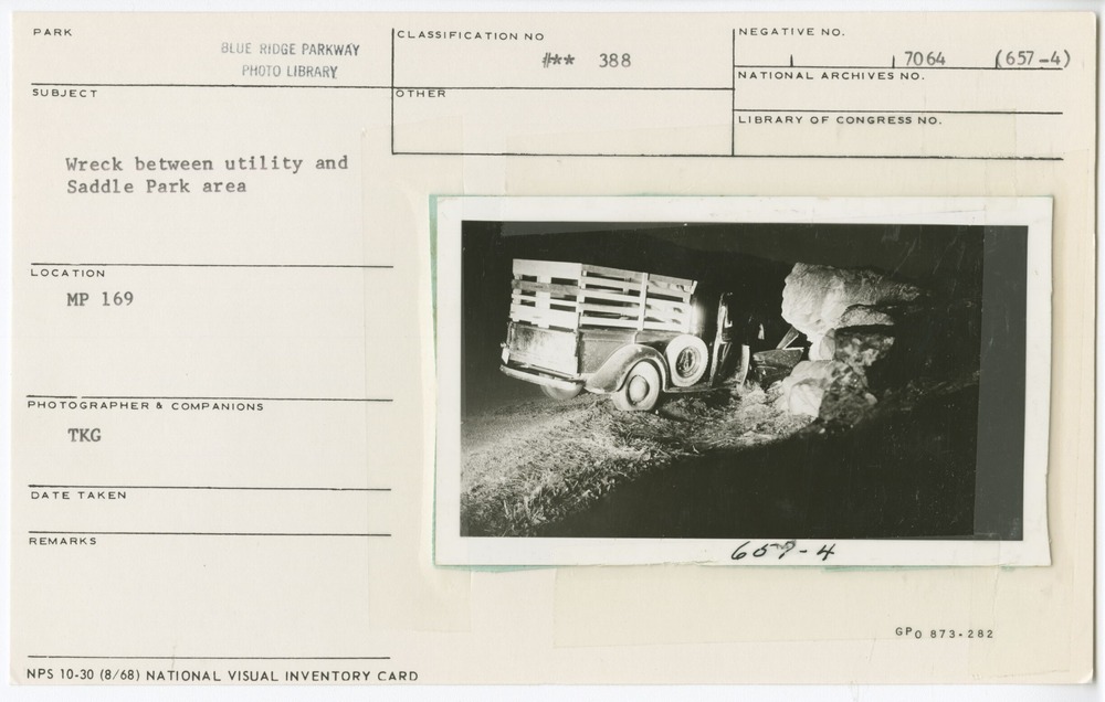
Wreck between utility and Saddle Parking Area
Wreck between utility and Saddle Parking Area
Rocky Knob Area, Milepost 169, Blue Ridge Parkway
U.S. National Park Service
Permission must be secured from the individual copyright owners to reproduce any copyrighted materials contained within this website.
TKG
Public domain
Image
Blue Ridge Parkway, Code: BLRI
Milepost 169, Blue Ridge Parkway
Blue Ridge Parkway
Latitude: 36.4365005493164, Longitude: -81.070556640625
Blue Ridge Parkway
Latitude: 36.4365005493164, Longitude: -81.070556640625
Unknown
Unknown
Public Can View
Organization: US National Park Service
Role: Museum Curator
Address: Blue Ridge Parkway Headquarters
Email: blri_info@nps.gov
Role: Museum Curator
Address: Blue Ridge Parkway Headquarters
Email: blri_info@nps.gov
Wednesday, January 8, 2020 2:51:15 PM
Wednesday, January 8, 2020 2:51:15 PM
0068_ccc_rocky-knob_castle.tif
tif
11.4 MB
Scenic
,
Historic