Select Item below to DOWNLOAD - Once item is selected, right click and choose 'save as'
8c9c075d95b44b5bb7b8cc8378b2af12
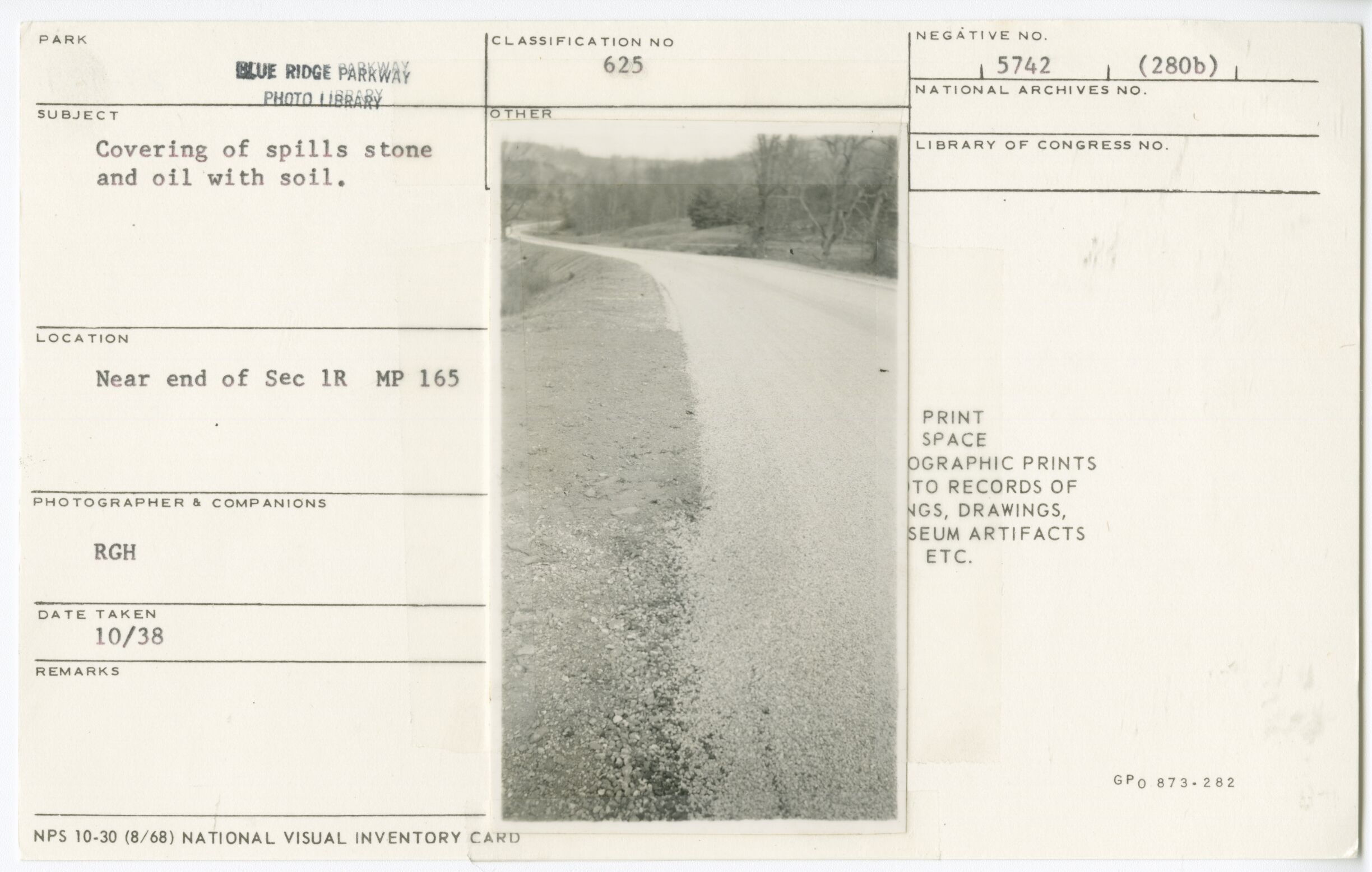
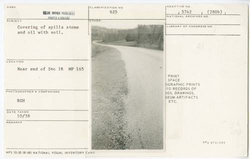
Covering of spills stone and oil with soil
Covering of spills stone and oil with soil
Near end of Section 1-R, Milepost 165, Blue Ridge Parkway
U.S. National Park Service
Permission must be secured from the individual copyright owners to reproduce any copyrighted materials contained within this website.
RGH
Public domain
Roadway, (Blue Ridge Parkway Construction Project)
Image
Blue Ridge Parkway, Code: BLRI
Milepost 165, Blue Ridge Parkway
Blue Ridge Parkway
Latitude: 36.4365005493164, Longitude: -81.070556640625
Blue Ridge Parkway
Latitude: 36.4365005493164, Longitude: -81.070556640625
October 1938
10/01/1938 - 10/30/1938
Public Can View
Organization: US National Park Service
Role: Museum Curator
Address: Blue Ridge Parkway Headquarters
Email: blri_info@nps.gov
Role: Museum Curator
Address: Blue Ridge Parkway Headquarters
Email: blri_info@nps.gov
Wednesday, January 22, 2020 9:15:49 AM
Wednesday, January 22, 2020 9:15:49 AM
0018_mp0165.tif
tif
11.4 MB
Scenic
,
Historic