Select Item below to DOWNLOAD - Once item is selected, right click and choose 'save as'
67f3c9332e124c1b94bd90cf7e28cb32
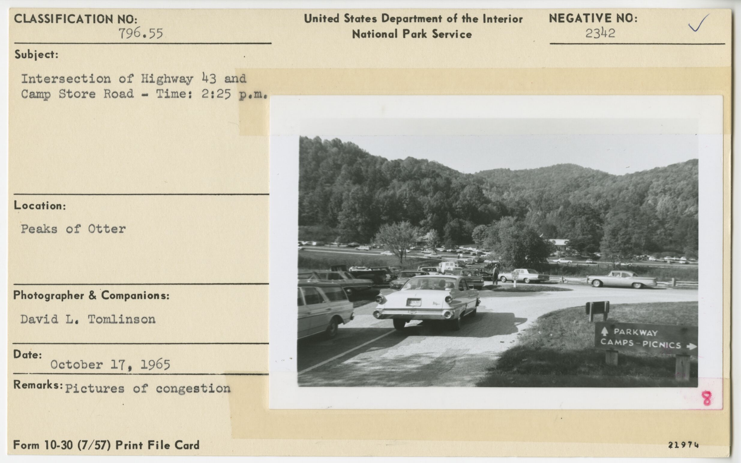
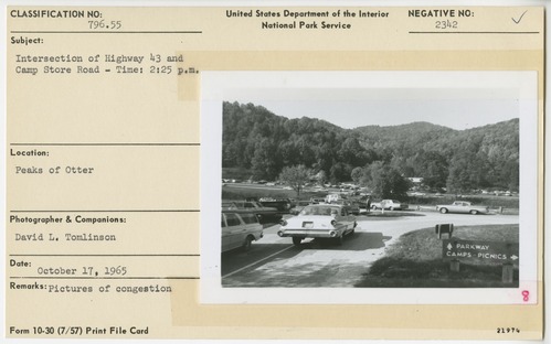
Congestion near intersection of Highway 43 and Camp Store Road
Congestion near intersection of Highway 43 and Camp Store Road
Peaks of Otter
U.S. National Park Service
Permission must be secured from the individual copyright owners to reproduce any copyrighted materials contained within this website.
David L. Tomlinson
Public domain
Image
Blue Ridge Parkway, Code: BLRI
Milepost 85, Blue Ridge Parkway
Blue Ridge Parkway
Latitude: 36.4365005493164, Longitude: -81.070556640625
Blue Ridge Parkway
Latitude: 36.4365005493164, Longitude: -81.070556640625
October 17, 1965
10/17/1965
Public Can View
Organization: US National Park Service
Role: Museum Curator
Address: Blue Ridge Parkway Headquarters
Email: blri_info@nps.gov
Role: Museum Curator
Address: Blue Ridge Parkway Headquarters
Email: blri_info@nps.gov
Wednesday, January 8, 2020 2:29:57 PM
Wednesday, January 8, 2020 2:29:57 PM
0134_p_otter_mp_86.tif
tif
11.5 MB
Scenic
,
Historic