Select Item below to DOWNLOAD - Once item is selected, right click and choose 'save as'
37ed52f707ee460d85919c4e2d58f43d
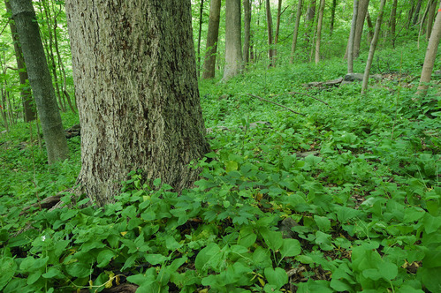
Rich Cove / Mesic Slope Forest at Harpers Ferry NHP
Rich Cove / Mesic Slope Forest at Harpers Ferry NHP
Photographer: Gary P. Fleming
U.S. National Park Service
© Gary P. Fleming / All Rights Reserved;
© Gary P. Fleming / All Rights Reserved;
All Rights Reserved
Image
National Capital Region, Code: NCR
Harpers Ferry National Historical Park, Code: HAFE
Harpers Ferry National Historical Park, Code: HAFE
Harpers Ferry National Historical Park
Latitude: 39.312858581543, Longitude: -77.7419586181641
Latitude: 39.312858581543, Longitude: -77.7419586181641
2006/05/03
05/03/2006
Public Can View
Person: Program Manager
Organization: US National Park Service
Address: National Capital Region
Organization: US National Park Service
Address: National Capital Region
Monday, July 12, 2021 1:53:21 PM
Monday, July 12, 2021 1:53:21 PM
41276765015.jpg
jpg
1.3 MB
Scenic