Select Item below to DOWNLOAD - Once item is selected, right click and choose 'save as'
26b31caeeb634c798c013685c6495cfd
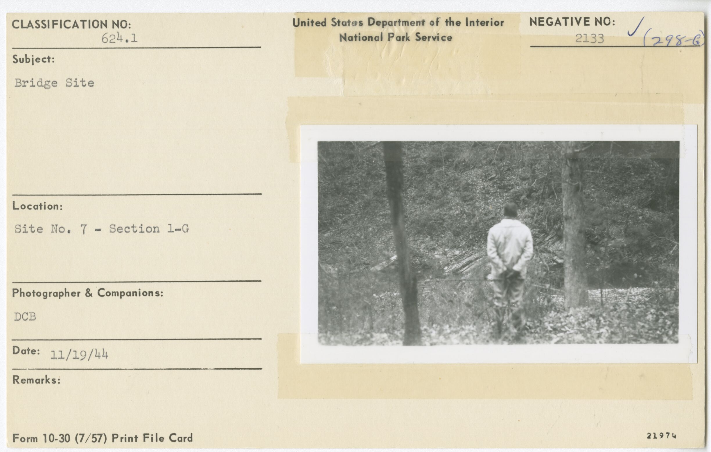
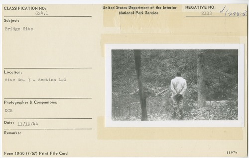
Bridge site for VA 607 and USFS road crossing
Bridge site for VA 607 and USFS road crossing
Site No.7, Section 1-G, Milepost 50
U.S. National Park Service
Permission must be secured from the individual copyright owners to reproduce any copyrighted materials contained within this website.
DCB
Public domain
Bridge, (Blue Ridge Parkway Construction Project)
Image
Blue Ridge Parkway, Code: BLRI
Milepost 50, Blue Ridge Parkway
Blue Ridge Parkway
Latitude: 36.4365005493164, Longitude: -81.070556640625
Blue Ridge Parkway
Latitude: 36.4365005493164, Longitude: -81.070556640625
November 19, 1944
11/19/1944
Public Can View
Organization: US National Park Service
Role: Museum Curator
Address: Blue Ridge Parkway Headquarters
Email: blri_info@nps.gov
Role: Museum Curator
Address: Blue Ridge Parkway Headquarters
Email: blri_info@nps.gov
Wednesday, January 22, 2020 9:59:18 AM
Wednesday, January 22, 2020 9:59:18 AM
0001_mp0050.tif
tif
11.4 MB
Scenic
,
Historic