Select Item below to DOWNLOAD - Once item is selected, right click and choose 'save as'
f09e5dc9-83c6-4a61-9ec5-782b2b25e6cf
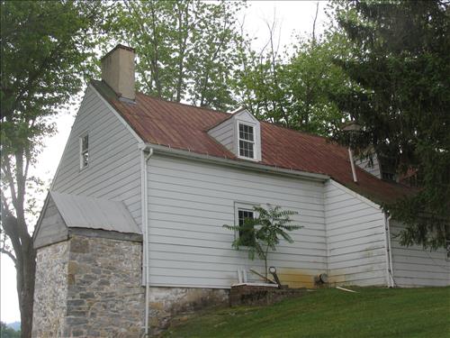
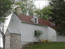
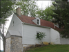
Exterior of the william Roulette Farmhouse in June 2010
These images show the exterior of the Roulette House
north gable end and west elevation, the stone bake oven can been seen on the end of the structure
Permission must be secured from the individual copyright owners to reproduce any copyrighted materials contained within this website. Digital assets without any copyright restrictions are public domain.
Public domain
Image
Antietam National Battlefield, Code: ANTI
Antietam National Battlefield, Washington County, Maryland
Latitude: 39.470100402832, Longitude: -77.7380981445313
Latitude: 39.470100402832, Longitude: -77.7380981445313
06/07/2010
06/07/2010
Public Can View
Thursday, June 10, 2010 7:32:16 AM
Thursday, August 10, 2017 12:42:34 PM
ANTI-f4000f24ad3a4e878635e6068147a8fb.jpg
Canon Canon, Canon PowerShot Pro1
1/125 sec at f / 4
12.53125 mm
Monday, June 7, 2010 5:26:08 PM
jpg
2.6 MB
Budget