Select Item below to DOWNLOAD - Once item is selected, right click and choose 'save as'
57771b0e-e93c-4455-a36c-fa6a852f10bf
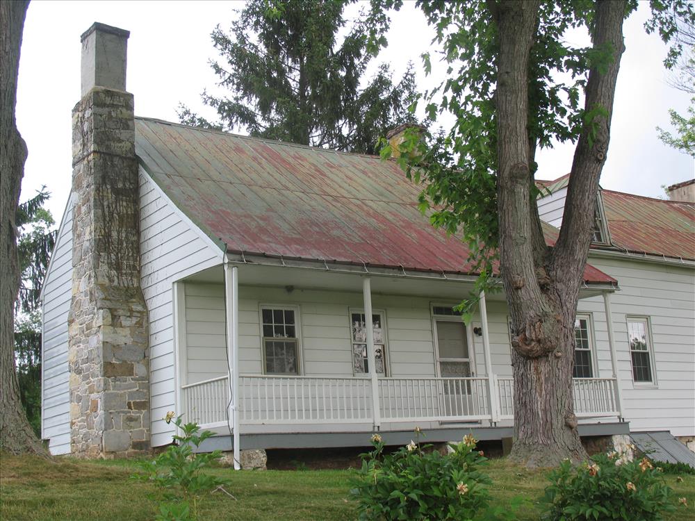
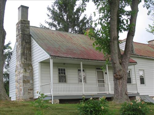
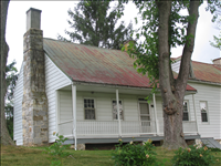
Exterior of the william Roulette Farmhouse in June 2010
These images show the exterior of the Roulette House
south bay east elevation, this is believed to be the oldest section of house
Permission must be secured from the individual copyright owners to reproduce any copyrighted materials contained within this website. Digital assets without any copyright restrictions are public domain.
Public domain
Image
Antietam National Battlefield, Code: ANTI
Antietam National Battlefield, Washington County, Maryland
Latitude: 39.470100402832, Longitude: -77.7380981445313
Latitude: 39.470100402832, Longitude: -77.7380981445313
06/07/2010
06/07/2010
Public Can View
Thursday, June 10, 2010 7:32:16 AM
Wednesday, August 9, 2017 8:14:38 PM
ANTI-8d966feb819a435c9adfc721b17818f0.jpg
Canon Canon, Canon PowerShot Pro1
1/125 sec at f / 4
12.53125 mm
Monday, June 7, 2010 5:32:00 PM
jpg
2.6 MB
Budget