, Prescribed burning, ()
, Fire ignition, ()
, Fuels reduction projects, ()
, Parks -- fire management, ()
Latitude: 36.441666, Longitude: -118.669444
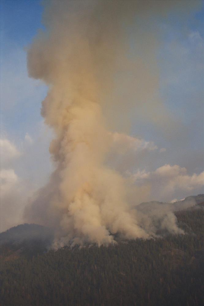
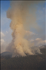
Smoke columns and smoke dispersal patterns from Tar Gap Prescribed Fire, Sequoia and Kings Canyon National Parks, fall 2002
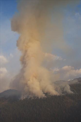
Smoke columns and smoke dispersal patterns from Tar Gap Prescribed Fire, Sequoia and Kings Canyon National Parks, fall 2002
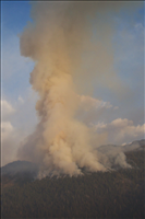
Smoke columns and smoke dispersal patterns from Tar Gap Prescribed Fire, Sequoia and Kings Canyon National Parks, fall 2002
Smoke columns and smoke dispersal patterns from Tar Gap Prescribed Fire, Sequoia and Kings Canyon National Parks, fall 2002
Smoke columns and smoke dispersal patterns from Tar Gap Prescribed Fire, Sequoia and Kings Canyon National Parks, fall 2002
Smoke columns and smoke dispersal patterns from Tar Gap Prescribed Fire, Sequoia and Kings Canyon National Parks, fall 2002
Smoke columns and smoke dispersal patterns from Tar Gap Prescribed Fire, Sequoia and Kings Canyon National Parks, fall 2002
Smoke columns and smoke dispersal patterns from Tar Gap Prescribed Fire, Sequoia and Kings Canyon National Parks, fall 2002
Smoke columns and smoke dispersal patterns from Tar Gap Prescribed Fire, Sequoia and Kings Canyon National Parks, fall 2002
Smoke columns and smoke dispersal patterns from Tar Gap Prescribed Fire, Sequoia and Kings Canyon National Parks, fall 2002
Smoke columns and smoke dispersal patterns from Tar Gap Prescribed Fire, Sequoia and Kings Canyon National Parks, fall 2002