Select Item below to DOWNLOAD - Once item is selected, right click and choose 'save as'
a45961c5-6006-4338-b673-f93431183a6e
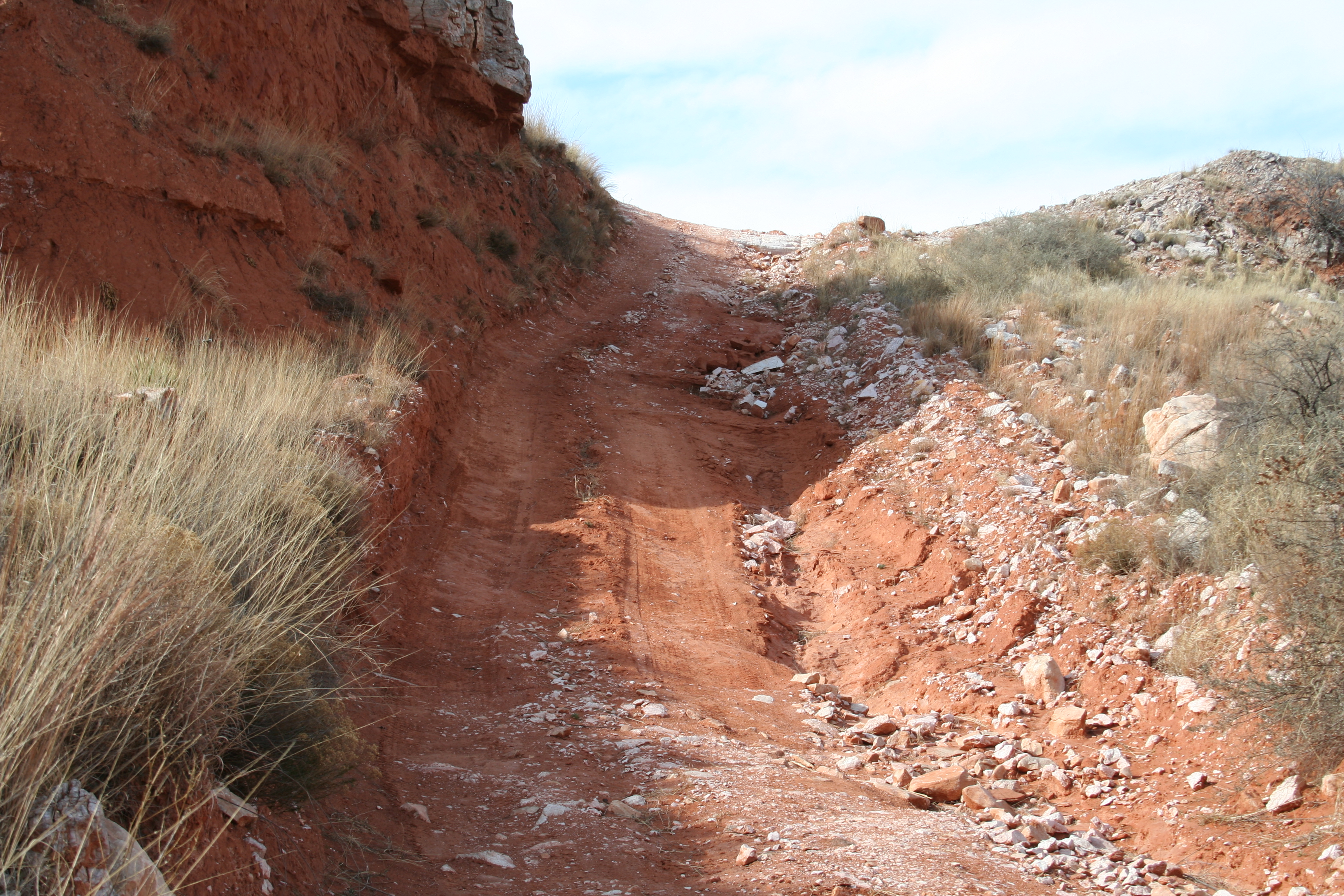
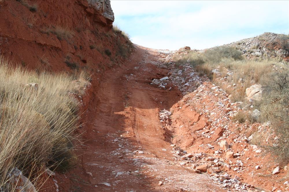
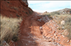
road conditions 1 at LAMR in Feb 2009
LAMR has a high probability of discovery of archaeological materials and these roads cuts are creating severe erosion.
steep road erosion -
Permission must be secured from the individual copyright owners to reproduce any copyrighted materials contained within this website. Digital assets without any copyright restrictions are public domain.
Public domain
Image
Lake Meredith National Recreation Area, Code: LAMR
LAMR- northwest side of lake, Lake Meredith National Recreation Area, Texas
Latitude: 35.5958595275879, Longitude: -101.69709777832
Latitude: 35.5958595275879, Longitude: -101.69709777832
02/26/2009
02/28/2009
Public Can View
Monday, March 2, 2009 7:35:46 AM
Thursday, August 10, 2017 4:56:00 AM
LAMR-9013d182f8db4310a2a7553991052b11.jpg
Canon Canon, Canon EOS DIGITAL REBEL XT
1/125 sec at f / 8
40 mm
ISO 100
Thursday, February 26, 2009 11:45:49 PM
jpg
4.6 MB
Budget