Select Item below to DOWNLOAD - Once item is selected, right click and choose 'save as'
0439ab66-2660-455f-81c5-f20d0af24e13
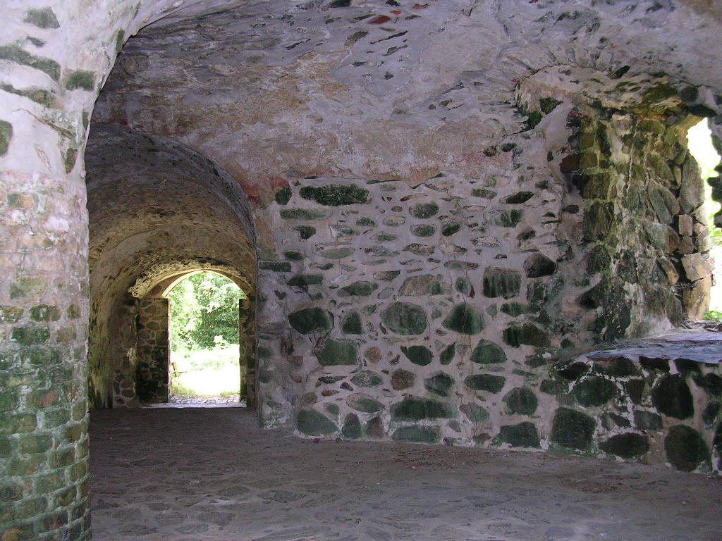
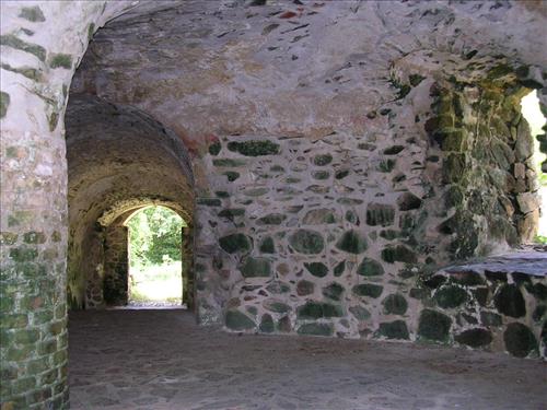
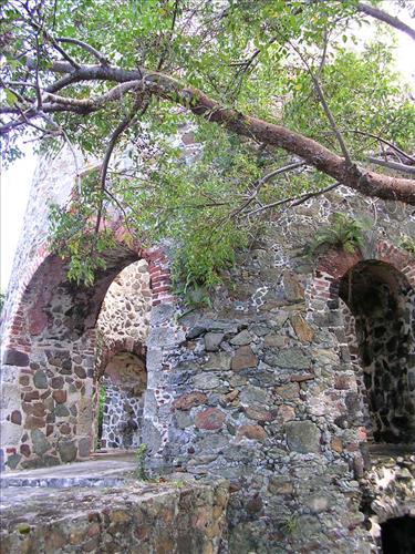
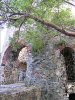
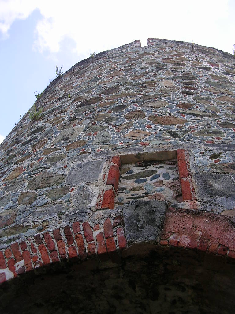
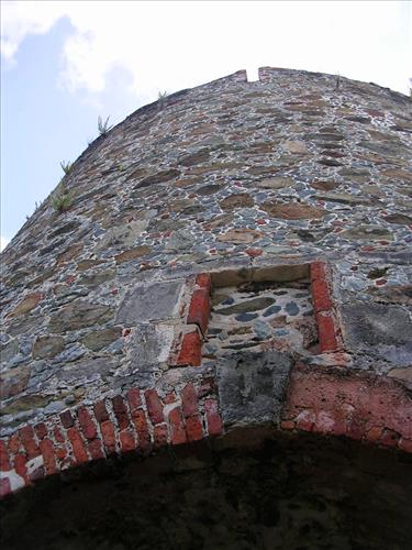
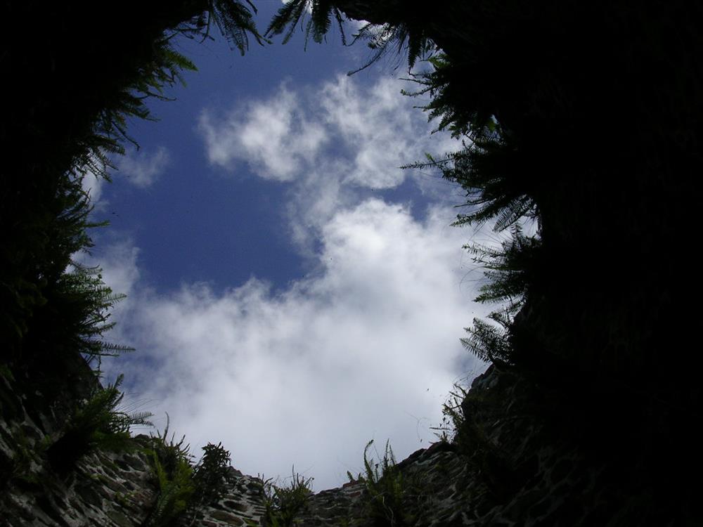
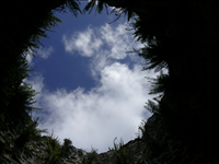
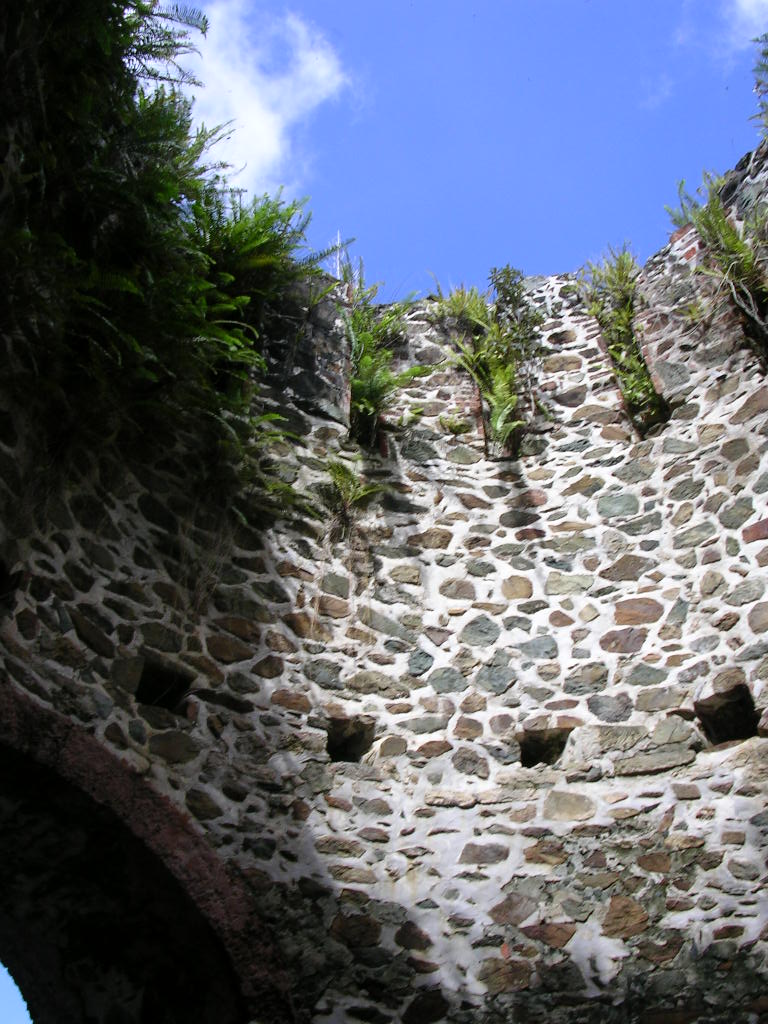
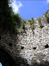
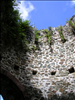
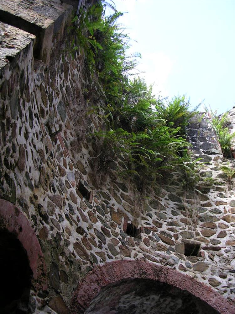
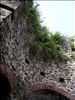
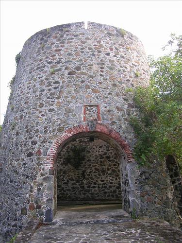
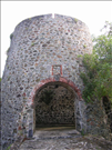
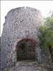
Catherineberg Windmill at Virgin Islands National Park in December 2007
The Catherineberg Sugar Mill Ruins are located off of Centerline Road, St. John, Virgin Islands (18°20'38"N, 64°45'38"W). The site is listed on the National Register of Historic Places under the name "Catherineberg-Jockumsdahl-Herman Farm."
basement of windmill.
Permission must be secured from the individual copyright owners to reproduce any copyrighted materials contained within this website. Digital assets without any copyright restrictions are public domain.
Public domain
Image
Virgin Islands National Park, Code: VIIS
Southeast Regional Office, Code: SERO
Southeast Regional Office, Code: SERO
Virgin Islands National Park, St. John Island, Virgin Islands
Latitude: 18.3473167419434, Longitude: -64.7608413696289
Latitude: 18.3473167419434, Longitude: -64.7608413696289
12/04/2007
12/04/2007
Public Can View
Thursday, December 13, 2007 2:38:23 PM
Wednesday, August 9, 2017 11:16:17 AM
VIIS-8f205b66764b433dbe3f322bdd9d490b.jpg
NIKON NIKON, E3200
10/601 sec at f / 2.8
5.8 mm
ISO 128
Tuesday, December 4, 2007 4:57:43 PM
jpg
178.4 kB
Catherineberg Windmill at Virgin Islands National Park in December 2007
Catherineberg Windmill at Virgin Islands National Park in December 2007
Catherineberg Windmill at Virgin Islands National Park in December 2007
Catherineberg Windmill at Virgin Islands National Park in December 2007
Catherineberg Windmill at Virgin Islands National Park in December 2007
Catherineberg Windmill at Virgin Islands National Park in December 2007